I hope everyone had a safe Halloween. It was certainly chilly with temperatures in the 30s.
We are waking up this morning to widespread twenties. Another hard frost and freeze. That makes two days in a row with widespread sub-freezing temperatures.
As we move into November, we start to think about different types of weather. November, historically, can deliver a little bit of everything. From rain to snow. From sunshine to tornadoes.
It is not uncommon for our region to experience a wide range of weather elements as we transition from autumn to winter.
I am watching a storm system around November 13th. Keep in mind, this is in the super long range. Models do not handle the long range very well. Confidence past day five or six is always going to be low.
When monitoring the long range I watch to see how consistent the models are in showing a storm system.
For example, the GFS weather model runs four times per day. If a system keeps showing up, run after run after run, then confidence in something happening typically increases.
The models have been showing this system for several days. About a week, actually.
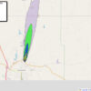
Here is what one of the recent GFS model runs showed for November 12th and 13th.
This is a large storm system with rain in our region. Perhaps even thunderstorms with heavy rain and gusty winds.
Nothing to worry about, for now. I will continue to monitor trends.
Blue is snow. Dark blue is heavy snow. Green is rain. Yellow and red represents heavier rain.
Let’s keep an eye on it.

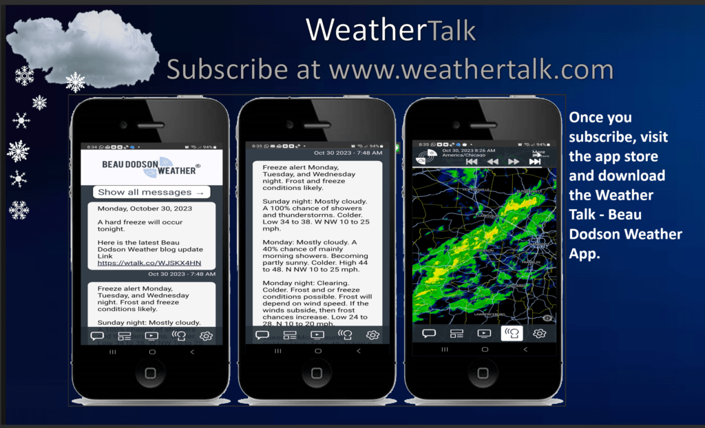
Want to receive additional weather information? Visit www.weathertalk.com and subscribe to my weather service. You will receive daily videos, long range videos, long range forecasts, updated regional weather forecast graphics, severe weather alerts, winter storm alerts, ice storm alerts, and more!