
Well, if you don’t like the weather then just stick around a little bit and the weather will change.
Our Halloween cold weather is now but a memory.
High temperatures today, tomorrow, and Wednesday will reach into the 70s and 80s.
Record highs will be possible today through Wednesday.
As a matter of fact, high temperatures Wednesday will hit the lower 80s. With that said, there are some questions about Wednesday’s forecast.
There is the potential for increasing low level clouds. If this happens, then some areas could actually struggle to reach the 70s.
There is a wide range of potential high temperatures Wednesday. Areas socked in with clouds will remain in the 60s and lower 70s. Those with full sunshine will experience upper 70s to lower 80s. .
A cold front will push across the region Thursday and Thursday night. This front will usher in colder air, which will linger into the weekend.
Rain is likely Thursday and Thursday night. Some areas, across our northern counties, may receive little or no measurable rainfall.
Areas to the south are likely to pick up 0.30 to 0.60″ of rain.
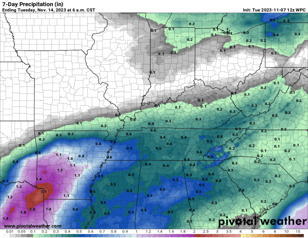
Here is the latest WPC/NOAA rainfall outlook. The bulk of this rain will fall Thursday afternoon and night. A few showers could linger into Friday morning.
Severe weather is not anticipated. Snow is not in the forecast!