Good day, everyone. I hope you are having a wonderful week!
A cold front is moving through the region this morning. The front is going to bring an end to our recent string of record warm temperatures. You knew that those warm temperatures couldn’t last! It is November, after all.
We will have cooler temperatures today with temperatures in the sixties. Clouds and gusty winds will make it feel like autumn.
Warmer air, from the Gulf of Mexico, will overtop the cold front and produce thicker clouds late this afternoon into tonight. Some rain showers will develop north of the front, as well.
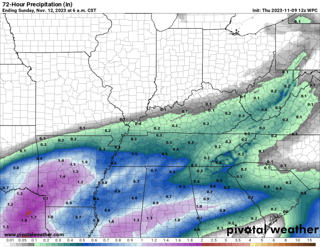
Our northern counties will likely remain dry. Meanwhile, our southern counties will experience the greatest chance of measurable rainfall. Even there, rain totals are likely to remain below 0.30″.
Here is the latest WPC NOAA rainfall forecast map. This shows you what is anticipated from tonight’s rain event.
Showers will end early Friday morning. That will leave us with a cool and dry weekend.
No severe weather or snow/ice in the forecast.
Have a super day!
~ Meteorologist Beau Dodson