Posted by Meteorologist Beau Dodson
November 20, 2023
If you would like to receive app alerts, then subscribe to www.weathertalk.com
Once subscribed, you can download the Beau Dodson Weather app!

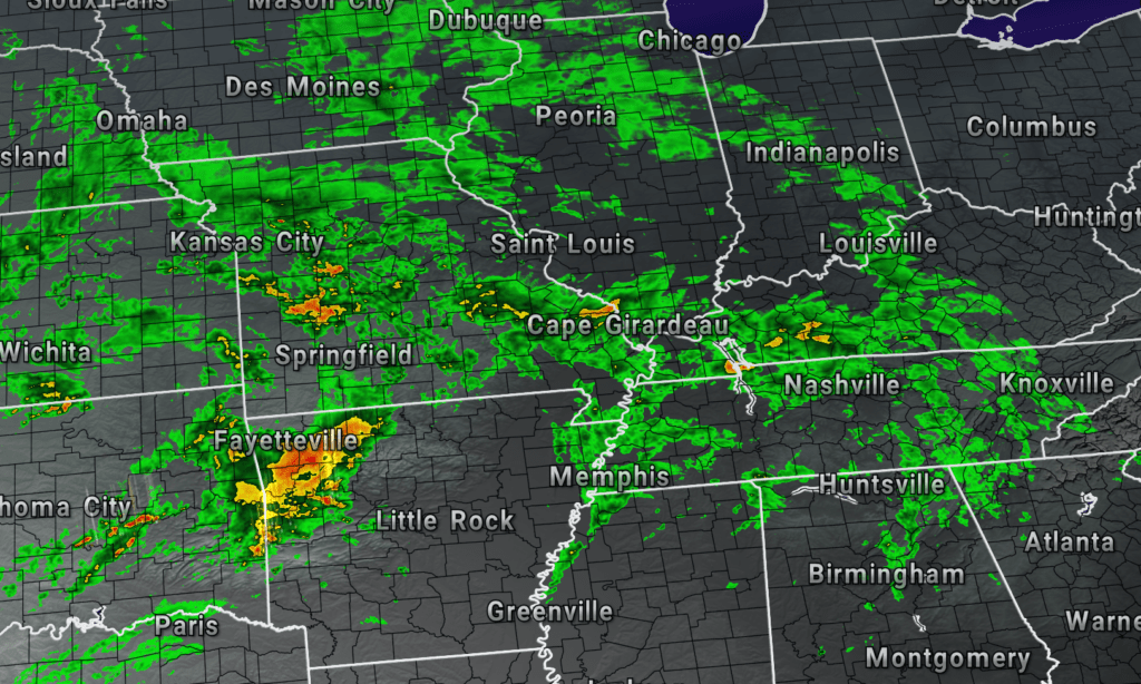
The current radar shows rain arriving in the region. Here is a link to our current radars. Click here.
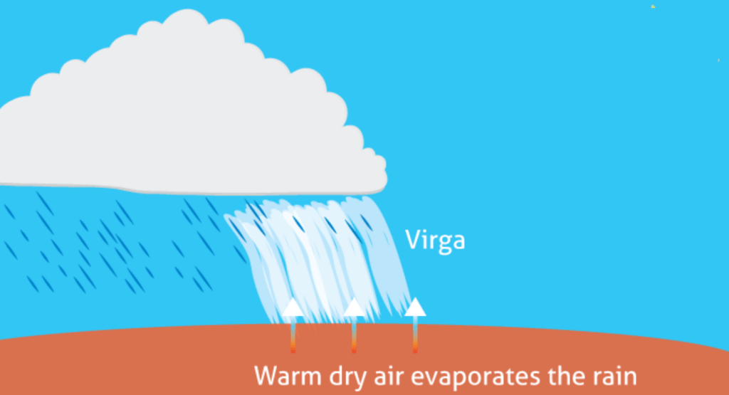
Some of this rain is not reaching the ground. We call that virga. It is evaporating because of a layer of dry air.
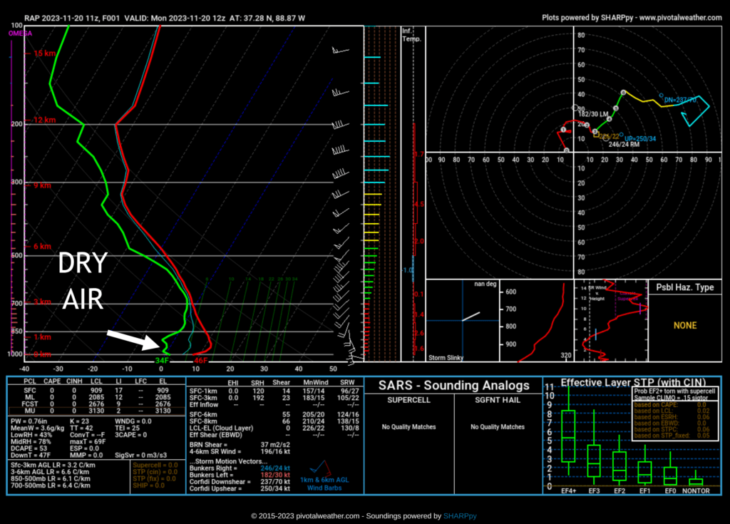
What you see below is called a sounding.
It is like a slice of pie, except it is the atmosphere at a certain hour. This snapshot of the atmosphere was taken by the RAP model at 7 am.
The green line represents dew points/moisture. The red line represents temperatures. When they come together, that typically means the rain is reaching the ground.
Notice they are separated. All of that dry air is causing the rain to evaporate. Not everywhere in the region, but many areas.
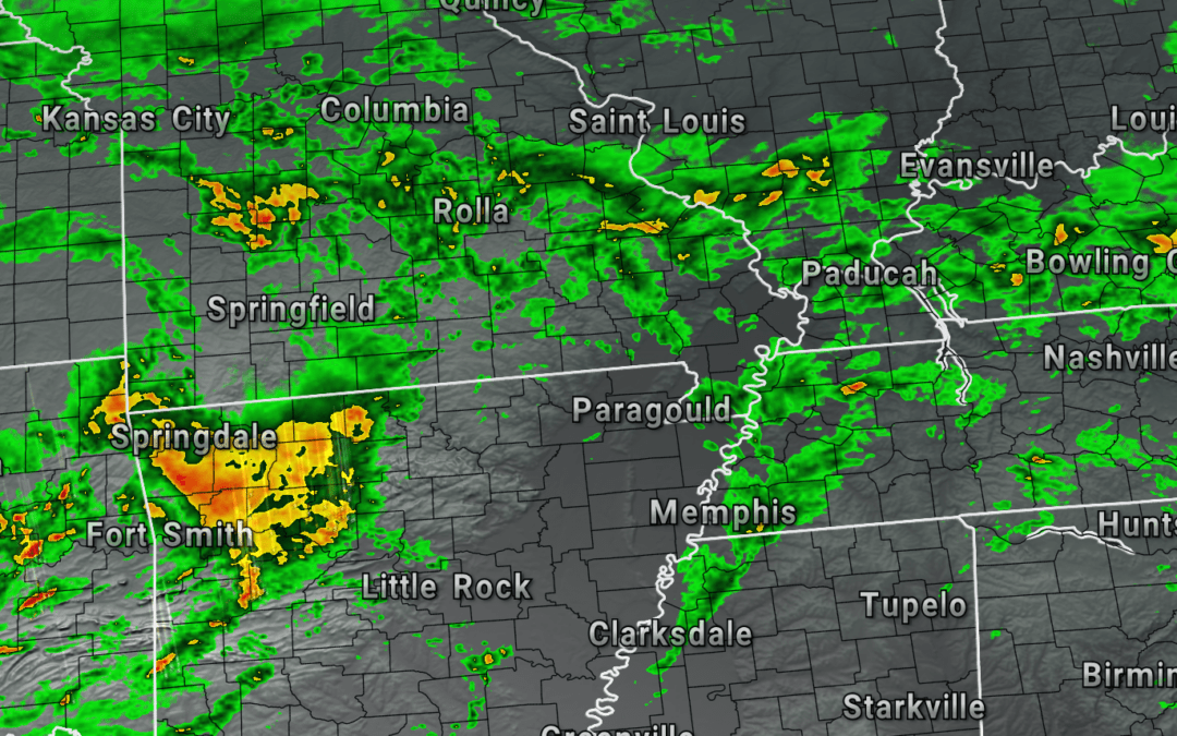
Here is what the 7 AM radar snapshot looked like. Looks wet, but much of those radar returns were virga.
The heavier returns were reaching the ground. That would be the darker green and yellow colors.
Rain coverage will increase this afternoon and tonight. You can expect widespread showers and thunderstorms. Some of the rain will be moderate at times.
Lightning will be possible. The good news is that we do not expect severe weather in our local area. I will keep an eye on it. A couple of stronger storms will be possible across the Missouri Bootheel into Tennessee. Gusty wind might accompany those.
The true severe weather is likely to remain to our south. Closer to central and southern Arkansas, Louisiana, and Mississippi.
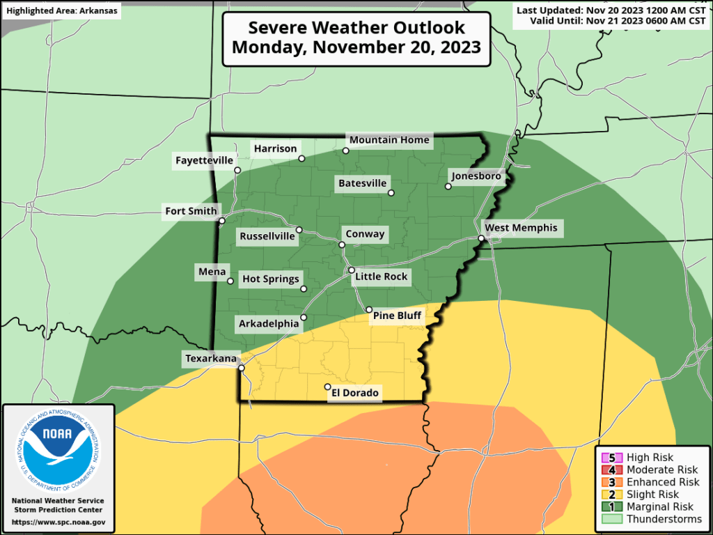
You can see on the Storm Prediction Center’s Severe Weather Outlook where they expect damaging wind, large hail, and tornadoes.
Most of our region is in the light green. That is where lightning will be possible. The dark green is a level one severe risk. The orange is the highest risk on this particular outlook map.
The SPC does have the Missouri Bootheel and western Tennessee in the level one risk (marginal/dark green). I believe, however, that the risk will remain to our south. Again, I will keep an eye on it.
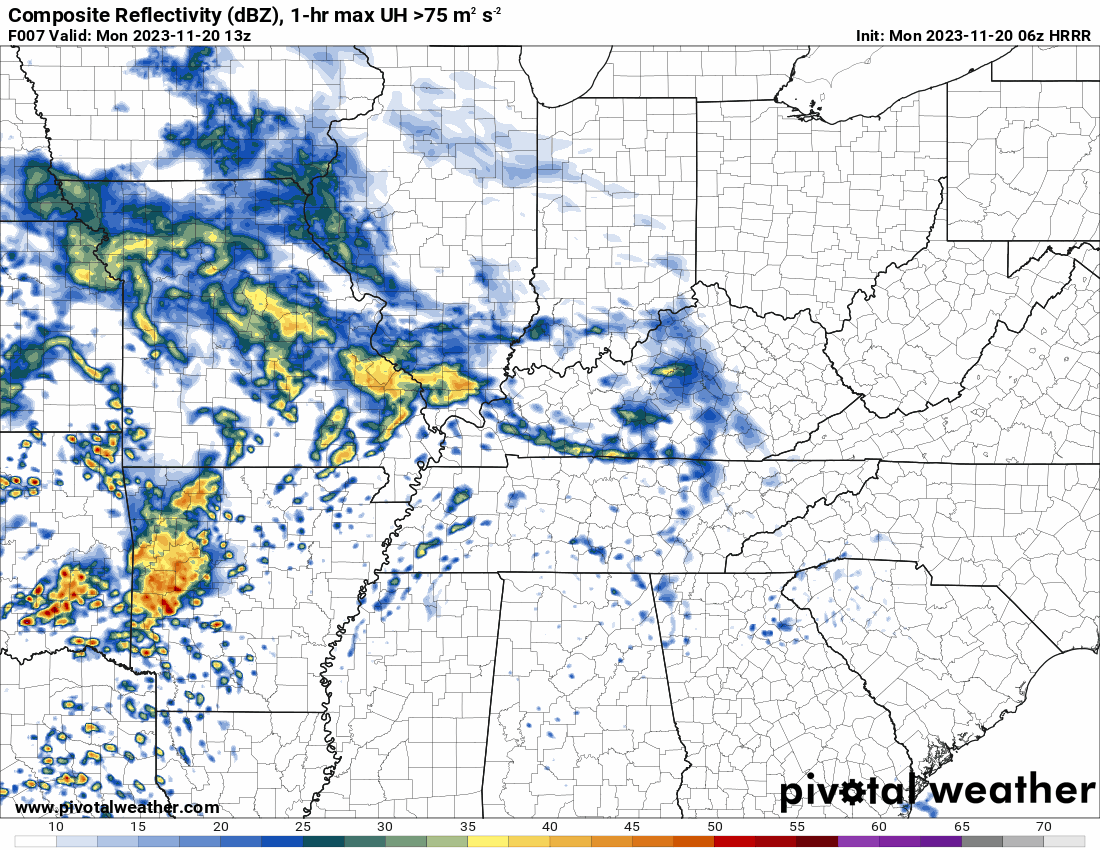
Here is the future-cast radar. This shows you what radar might look like as we move through today and tonight. This is a model.
The time stamp is located in the upper left and is in Zulu time. 12z=6 AM. 18z=12 PM. 00z=6 PM. 06z=12AM.
Here is the latest WPC rainfall outlook. This won’t be exact at every location. Take the general idea from it.
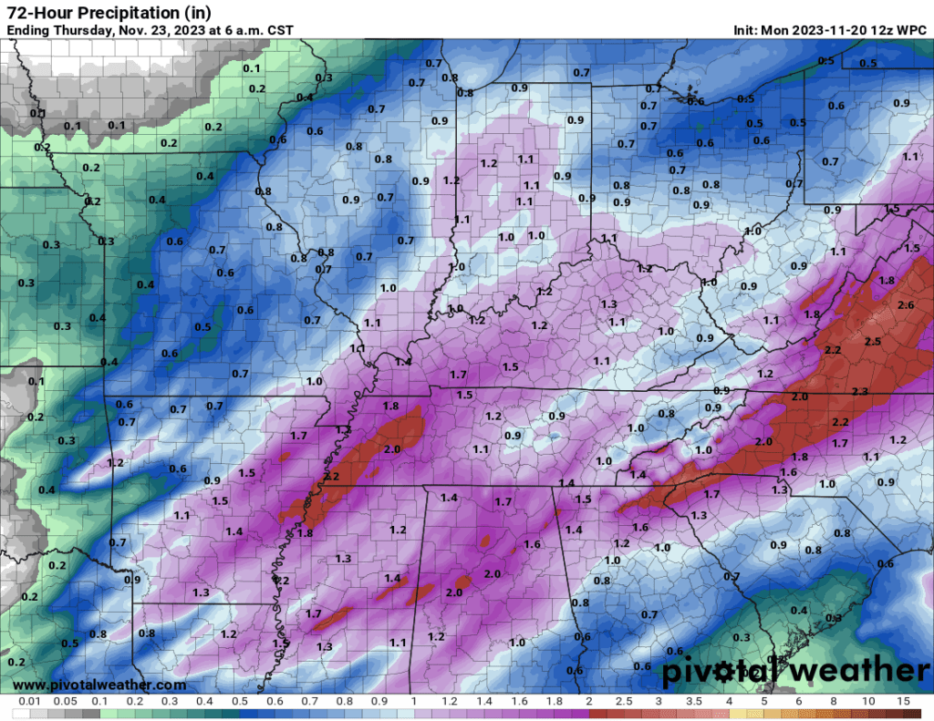
I still have Wednesday and Thanksgiving Day dry. Cool. Highs in the 40s/50s. Lows in the 20s/30s.
Have a great day and a great holiday week!