PADUCAH, Ky. (News First) – The National Weather Service Offices in Paducah, Nashville, and Louisville have assessment teams out in the tornado damaged areas from Saturday’s storms.
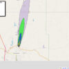
So far the Paducah office has rated the twister that ripped through southern Todd County as an EF-2 on the Enhanced Fujita Scale, with winds approaching 125 mph.
UPDATE: 2:10 PM:
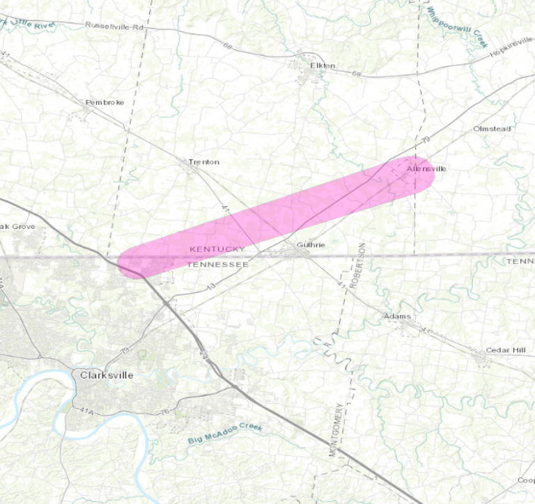
Here are the results of our (NWS-PADUCAH) survey in southern Todd County, Kentucky. The tornado path was continuous and part of a longer tracked tornado. The survey is continuing on the earlier and later parts of the tornado.
Rating: EF-2
Estimated peak wind: 125 mph
Path length /Statute/: 13.2 miles in Todd County
Path width /Maximum/: 440 yards
Fatalities: 0
Injuries: 0
Start date: 12/10/2023
Start time: 1:57 pm
Start location: 5 Miles west of Guthrie, KY
Start Lat/Lon: 36.64 -87.28
End date: 12/10/2023
End time: 2:15 pm
End location: south side of Allensville, KY
End_lat/lon: 36.71 -87.06
SURVEY_SUMMARY:
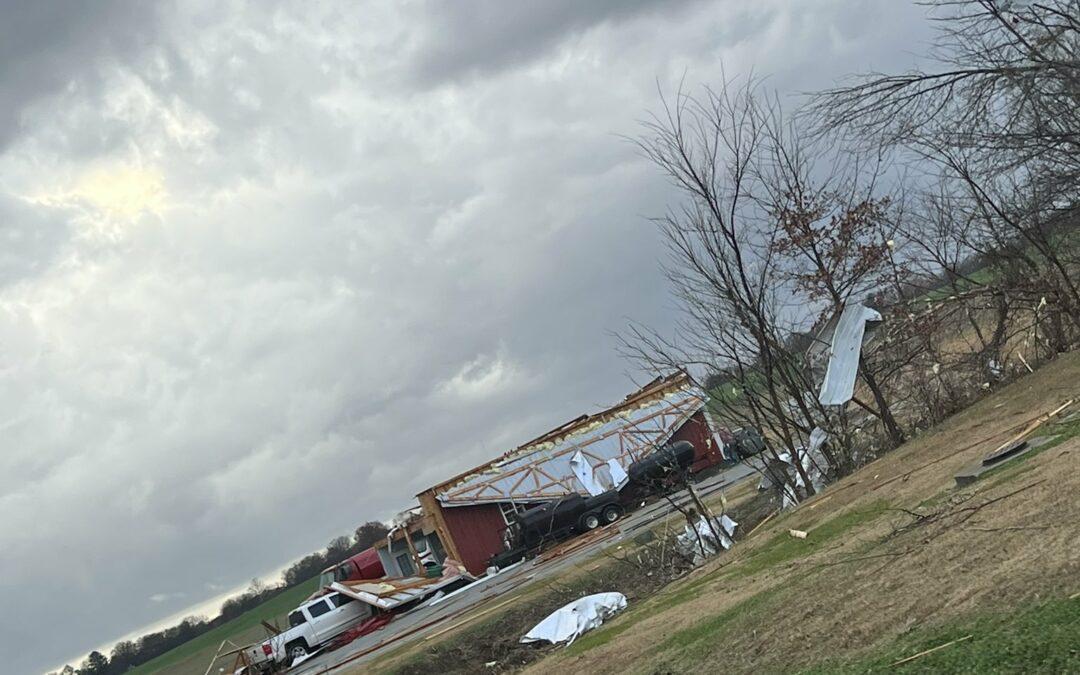
Hundreds of trees snapped or uprooted. At least a dozen
outbuildings destroyed, including barns, sheds and garages.
Many homes suffered minor damages to roofs, siding, and
gutters. Several homes had parts of roofs removed.
Several broken power poles.
EF0…Weak……65 to 85 mph
EF1…Weak……86 to 110 mph
EF2…Strong….111 to 135 mph
EF3…Strong….136 to 165 mph
EF4…Violent…166 To 200 mph
EF5…Violent…>200 mph
NOTE:
The information in this statement is PRELIMINARY and subject to
change pending final review of the event and publication in
NWS Storm Data.
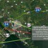
3:30 PM: We have an update about the Clarksville tornado. The team has reported the following:
EF-3/150mph
Width: 600 yards
Length: TBD as some refinements will be needed to the path.
3:35 PM: Preliminary storm survey findings: Surveyors in Gibson, Co TN have found damage consistent with an EF-1 tornado containing 110mph winds. The survey is currently ongoing in Weakley County. More updates will come when available.
4:25 PM: Update: The survey in Weakley County yielded damage consistent with an EF-1 tornado containing 110 mph winds. Preliminary findings suggest the tornado path is 25 miles and lasted approximately 31 minutes. A Public Information Statement with final rating and information will be coming this evening.
All three weather offices remain out in the field surveying the damage. News First will provide additional updates as more information is released.