Posted by Meteorologist Beau Dodson
Want to receive more weather information? I provide a service through www.weathertalk.com
You can receive daily weather forecasts, blog updates, special weather statements, severe weather alerts, tornado alerts, ice storm warnings, winter storm alerts, videos, long range videos, long range outlooks, and more!
Subscribe at www.weathertalk.com
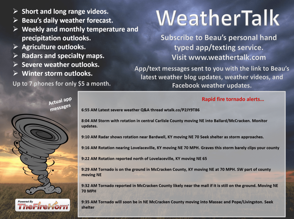
Samples of what you will receive. Once you subscribe, download the Beau Dodson Weather App in the app store. Need help? Email me at beaudodson@usawx.com
Well, we have a quiet weather evening ahead of us. Unfortunately, Saturday will not be as quiet.
First, who is enjoying today’s March like weather?
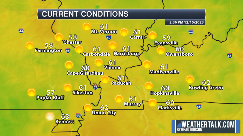
I mean, who doesn’t like 60s in December? Snow lovers? Perhaps not!
Tonight, will be cool. Rain showers will approach southeast Missouri after midnight.
Widespread rain will push into the region tomorrow. It will arrive west to east. Beginning in southeast Missouri late tonight and then spreading across the region tomorrow morning and afternoon.
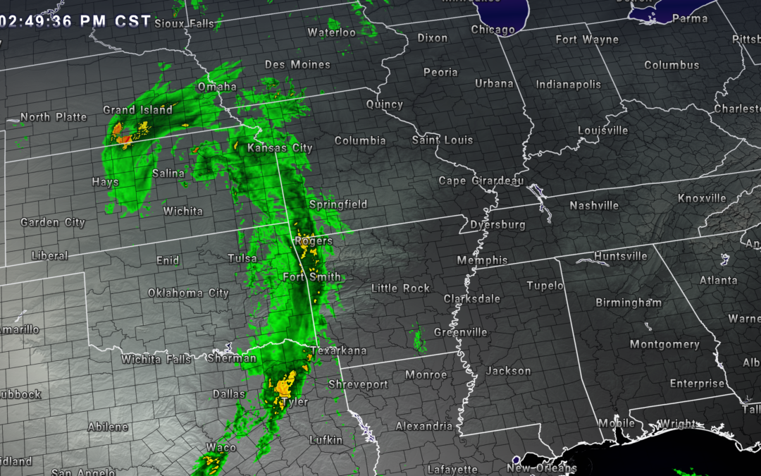
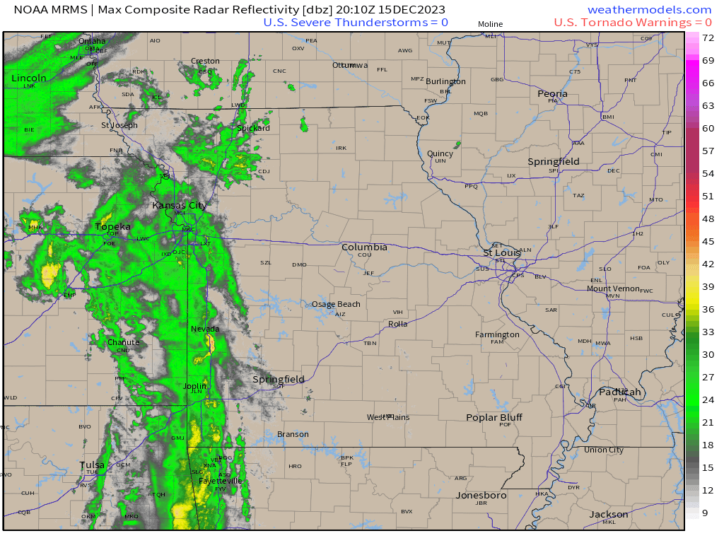
You can see the rain to our west on this 3 PM radar animation. Please see the live radars for the most up to date image.
The rain will continue into tomorrow night.
The good news is that we will not have to worry about severe weather or tornadoes.
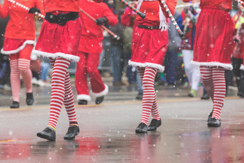
Parade goers will need to monitor the Beau Dodson Weather radars. You will want to bring a jacket and umbrella. Some parades may cancel. Check ahead.
You can track the rain via our live local radars!
Beau Dodson Radars and Lightning Data
Interactive local city-view radars. Clickable watches and warnings.
https://wtalk.co/B3XHASFZ
Backup radar site in case the above one is not working.
https://weathertalk.com/morani
Regional Radar
https://imagery.weathertalk.com/prx/RadarLoop.mp4
*NEW* Zoom interactive radar (with storm chaser streams)
https://wtalk.co/AVWG7GM7
Real time lightning tracker system two.https://map.blitzortung.org/#5.02/37.95/-86.99
Lightning Data (zoom in and out of your local area)
https://wtalk.co/WJ3SN5UZ
Let’s take a look at the future-cast radar for this rain event.
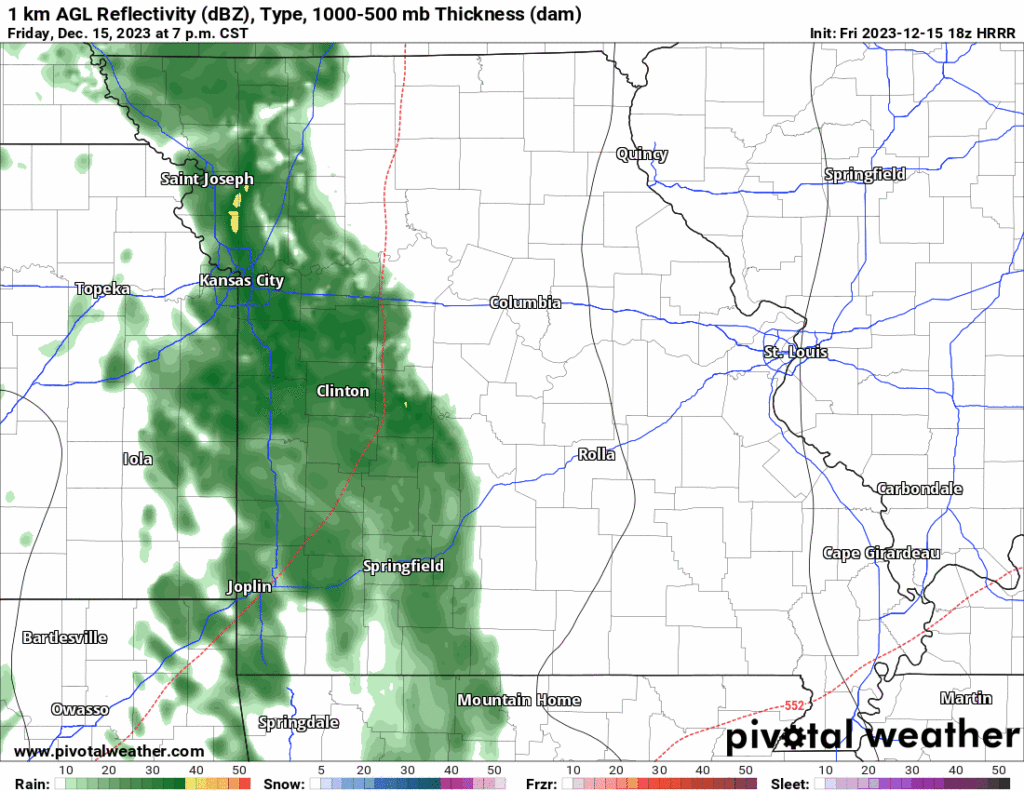
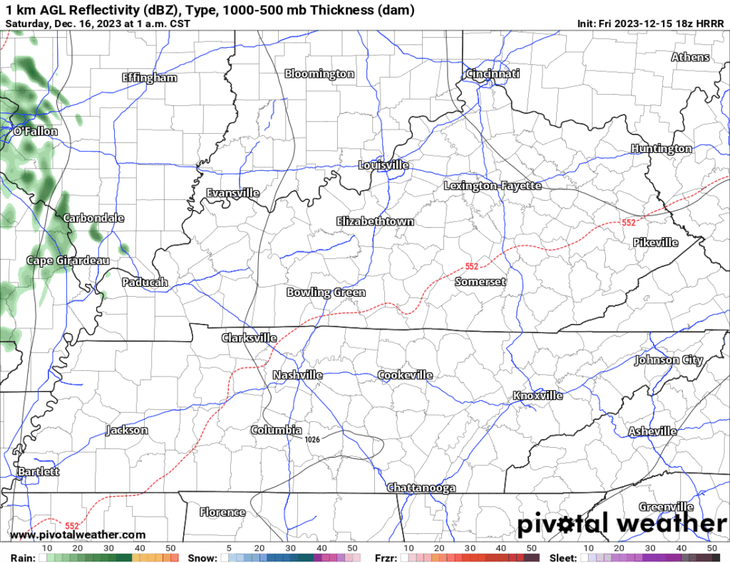
Rain totals won’t be anything to write home about. A bit higher totals over our eastern counties.
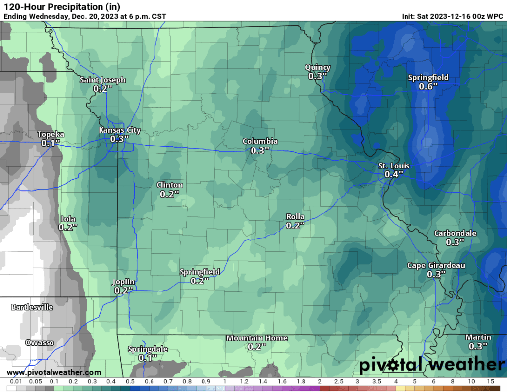
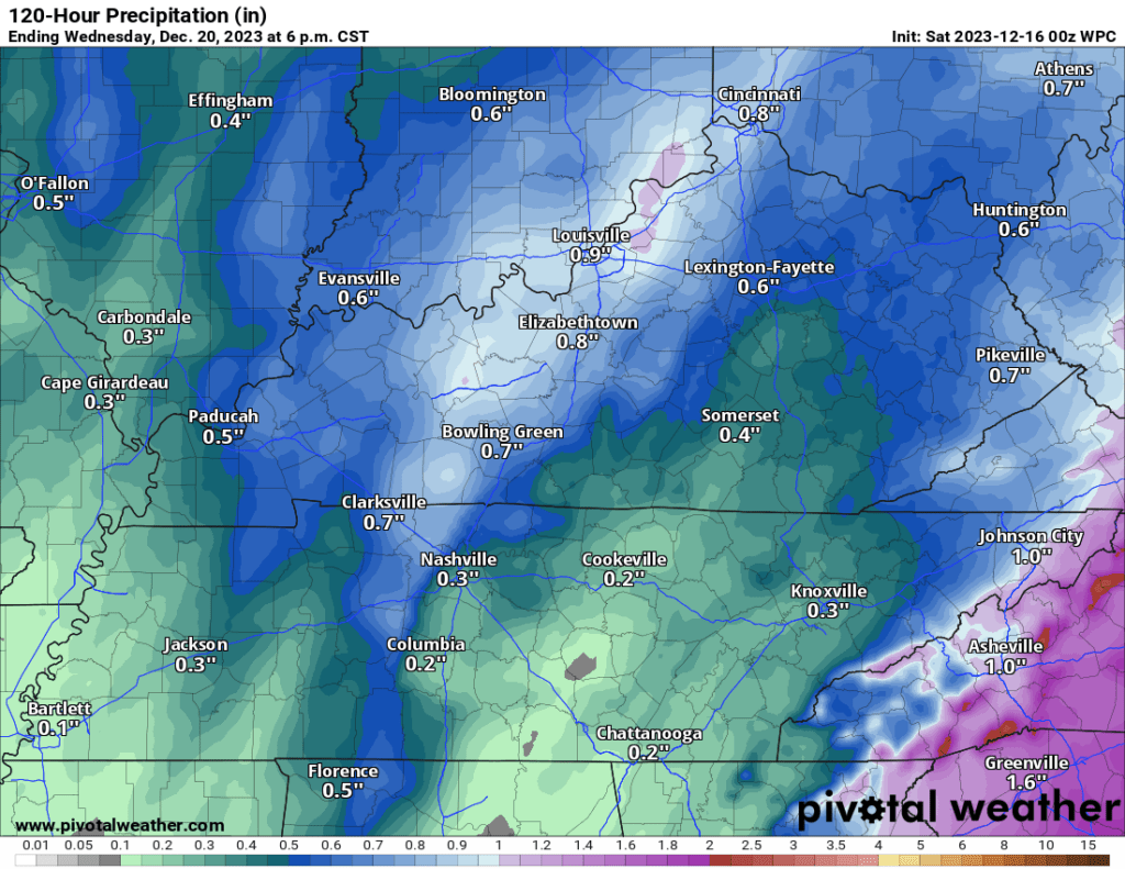
A few showers may continue into Sunday morning. Especially over our eastern counties. That would mainly be the Pennyrile area of western Kentucky.
Windy conditions Sunday into Monday night. Occasional gusts above 30 mph. Christmas decorations might not like that.
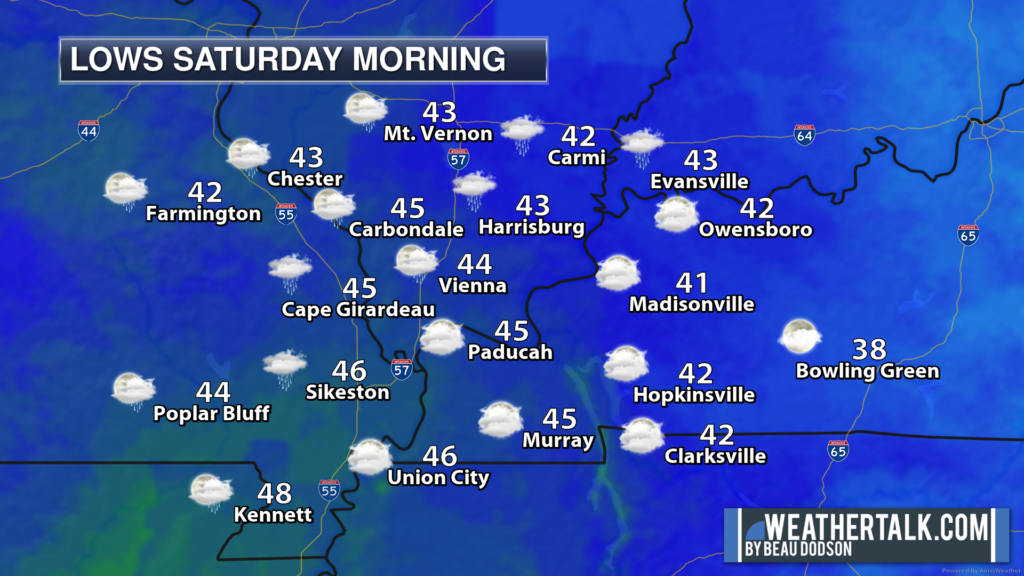
Monday night will be cold. Lows will dip into the upper teens and lower twenties. Wind chill values will dip into the 10 to 20 degree range. This will be the coldest wind chill values since last winter. Brrr.
I was going to update the Christmas forecast today, but I think I will wait for more data. I am watching several systems between the 22nd and January 3rd. Stay tuned.