
Posted by Meteorologist Beau Dodson
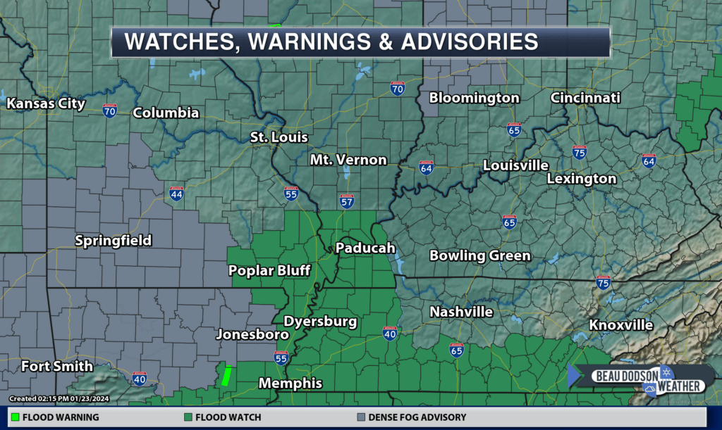
The flood watch has been cancelled for all of the area except the Bootheel and northwest Tennessee.
January 23, 2024
Want to receive an app notification when I post a new Facebook thread, update the weather blog, post rapid-fire tornado alerts, severe weather alerts, ice storm alerts, winter storm alerts, the daily forecast, and more?
Subscribe to www.weathertalk.com
Then, download the Beau Dodson Weather app
Apple users: Beau Dodson Weather App
https://wtalk.co/9EZYG8A8
Android users: Beau Dodson Weather App
https://wtalk.co/ZEWYU8ME

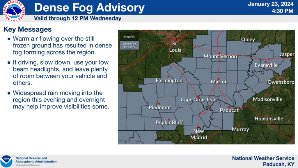
Dense fog advisory.
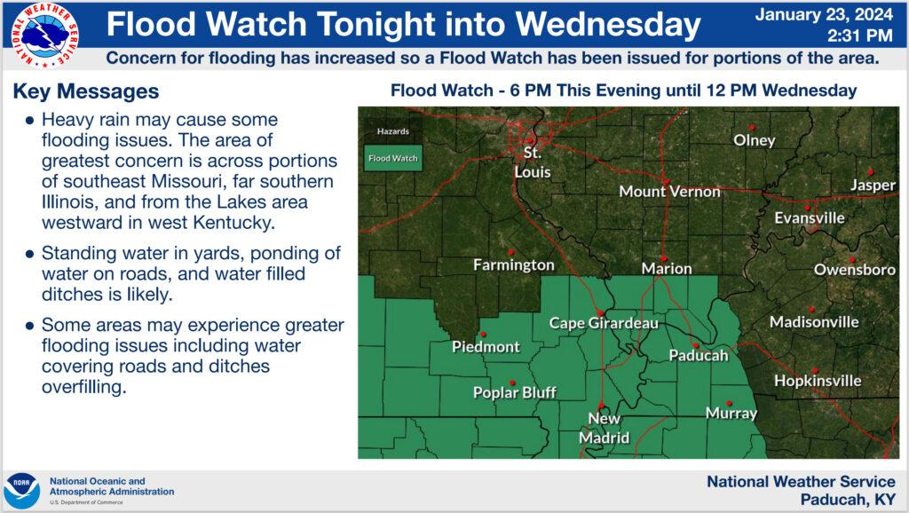
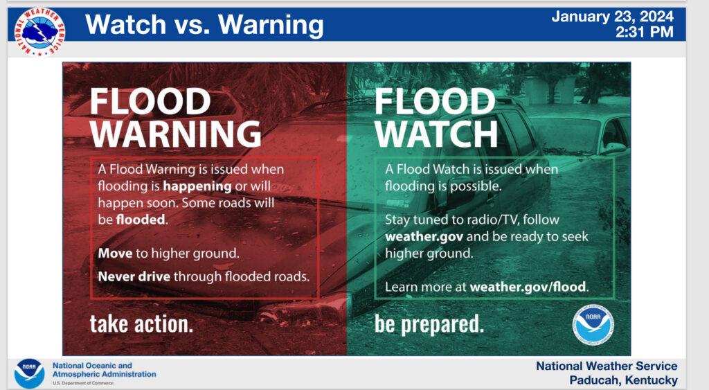
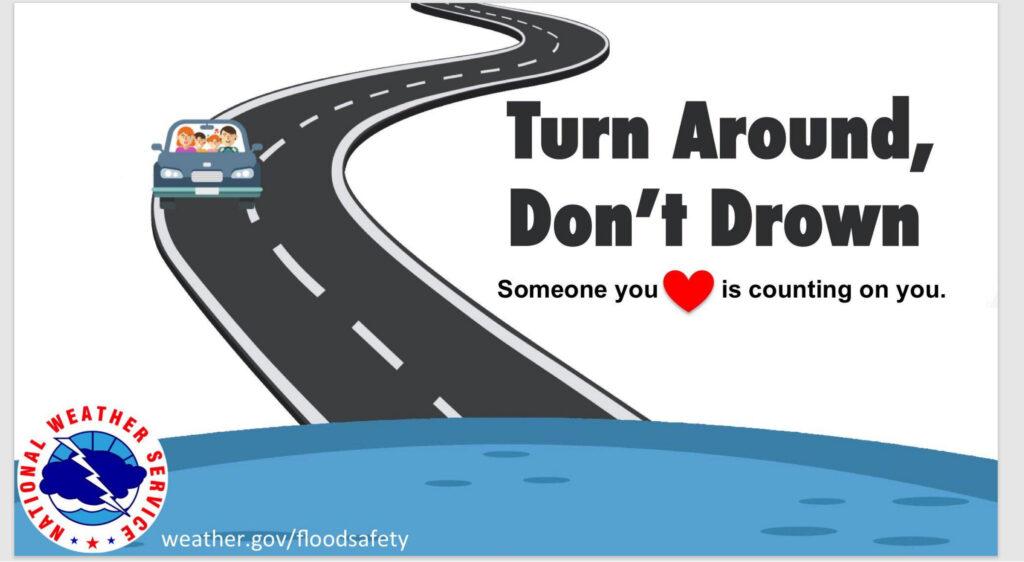
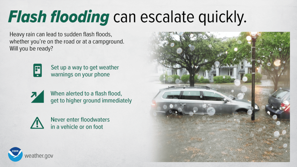
The National Weather Service Has Issued A Flood Watch.
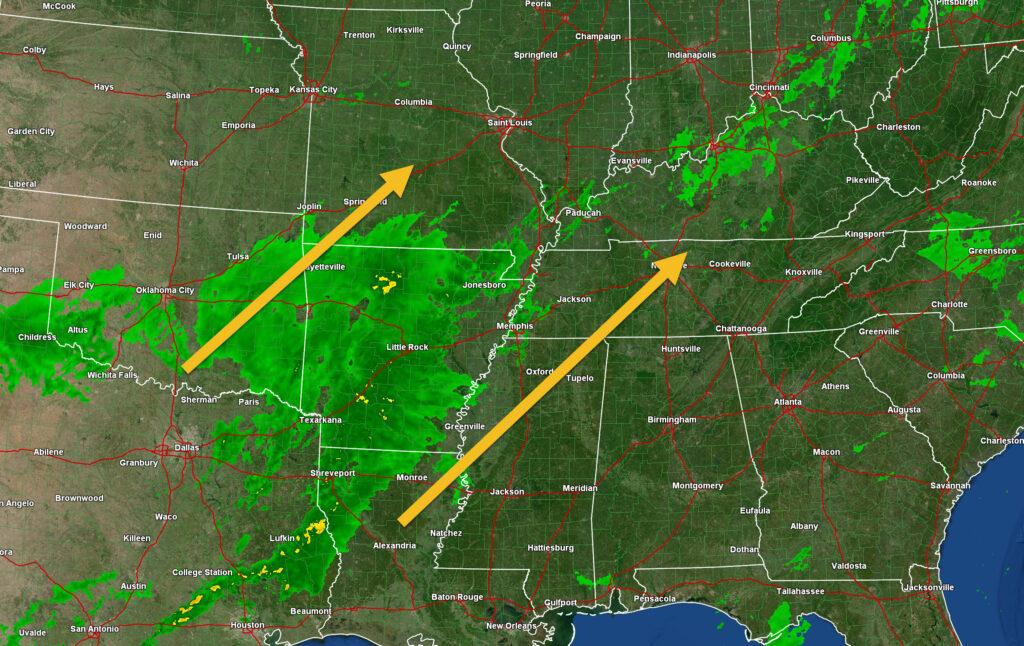
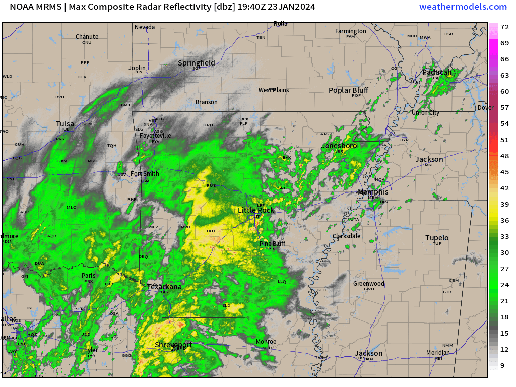
Here comes more rain.
The NWS has issued a flood watch for portions of southeast Missouri, southern Illinois, western Kentucky, and northwest Tennessee.
Avoid flooded roadways.
The watch will last until Thursday for the Bootheel and northwest Tennessee.
The watch will last through Wednesday morning for the rest of the area (it is possible the watch is extended into Thursday)
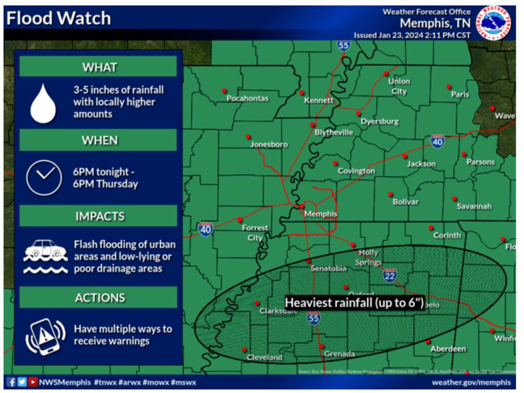
WHEN: From 6 PM CST this evening through Wednesday morning for southeast Missouri, southern Illinois, and western Kentucky.
WHEN: From 6 PM CST this evening through Thursday evening for the Missouri Bootheel and northwest Tennessee.
IMPACTS: Excessive runoff may result in flooding of rivers, creeks, streams, and other low-lying and flood-prone locations. Flooding may occur in poor drainage and urban areas. Low-water crossings may be flooded.
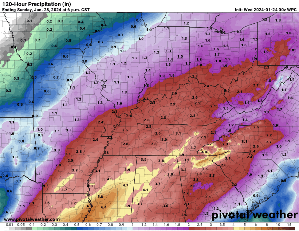
ADDITIONAL DETAILS: After receiving around 0.5 to 1.5 inches of rain Monday night, another round of heavy rain is expected tonight through Wednesday morning. Another 1 to 2 inches of rain is possible, with locally higher amount possible across southeast Missouri. With the ground still frozen from the recent cold wave, excessive runoff from heavy rain is likely and will cause scattered flooding issues to develop in the Flood Watch area.
http://www.weather.gov/safety/flood
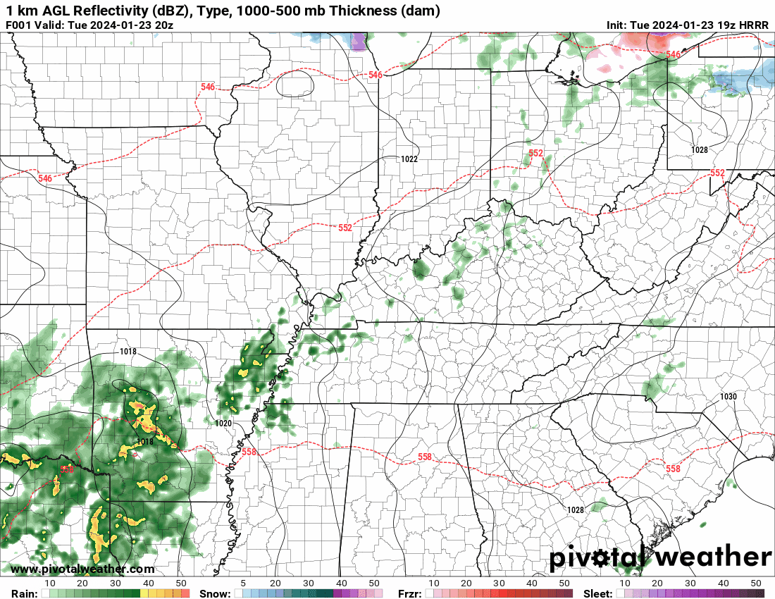
The Hrrr model shows quite a bit of rain tonight into tomorrow morning. Another round arrives Wednesday night into Thursday. Another round arrives late Friday night into Saturday. Additional flood watches are likely.
Here is the graphic showing the counties included in the watch.
https://imagery.weathertalk.com/prx/Region_Alerts.png
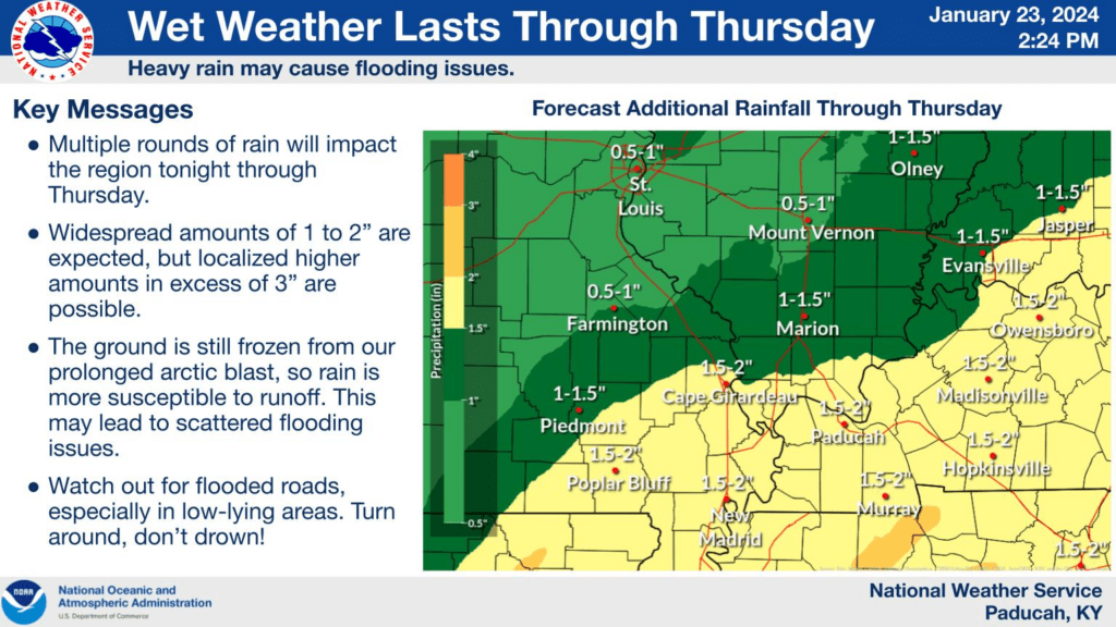
Rainfall totals through the weekend. Locally higher totals.
Beau Dodson Weather Radars and Lightning Data
Live Beau Dodson Radars with clickable watches and warnings.
https://beaudodsonweather.com/weather-radars/
Backup radar site in case the above one is not working.
https://weathertalk.com/morani
Regional Radar
https://imagery.weathertalk.com/prx/RadarLoop.mp4
NEW Zoom interactive radar (with storm chaser streams)
https://wtalk.co/AVWG7GM7
Real time lightning tracker system two.
https://map.blitzortung.org/#5.02/37.95/-86.99
Lightning Data (zoom in and out of your local area)
https://wtalk.co/WJ3SN5UZ
Check out our new news website!
https://mylocalnewsfirst.com/


