Posted by Chief Meteorologist Beau Dodson
A widespread rain event is likely to develop late Sunday night and continue into Monday night/Tuesday.
There are still some timing differences in the guidance, but it appears peak rain chances should be Monday and Monday night. Scattered showers are possible Sunday night and Tuesday.
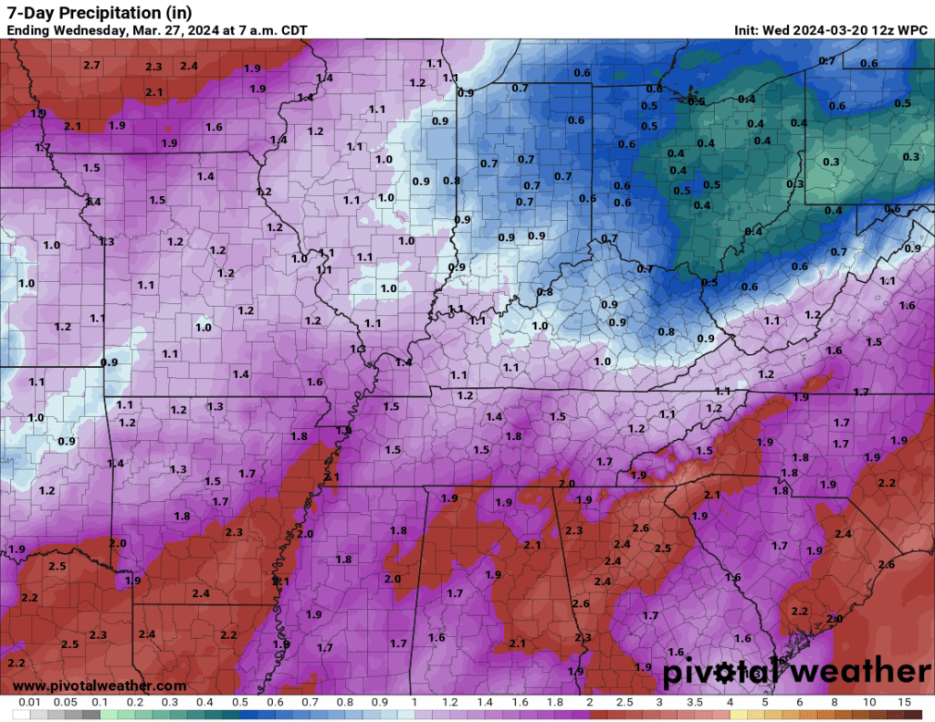
Rain totals of 0.7″ to 1.4″ are anticipated. We do need this rain. We are still in drought.
Here is the official WPC/NOAA rainfall forecast. This will be adjusted as the event draws closer. This is the initial thinking.
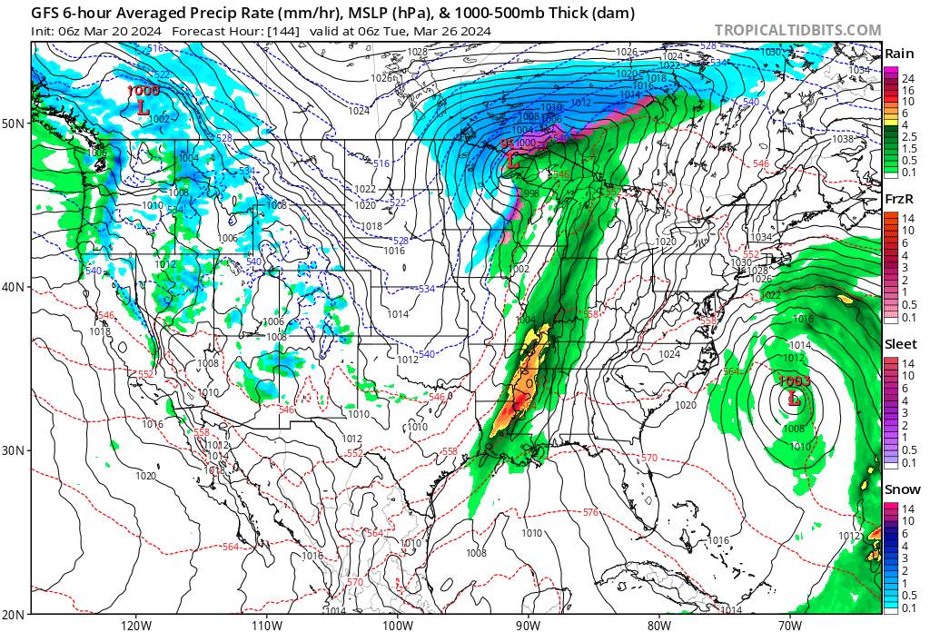
Here is what the GFS model is showing for the system early next week. A few thunderstorms may accompany the front, as well. Green is rain. Blue is snow. Yellow and orange are locally heavy rain.
Severe weather is not anticipated, but I will keep a close eye on it.
Want to receive more weather information? I provide a service through www.weathertalk.com
Subscribe at www.weathertalk.com and then download the Beau Dodson Weather app from the app stores!
Apple users: Beau Dodson Weather App
https://wtalk.co/9EZYG8A8
Android users: Beau Dodson Weather App
https://wtalk.co/ZEWYU8ME
Need help? Email me at beaudodson@usawx.com
* Daily weather forecasts
* My personal weather blog with all sorts of weather information!
* Special weather statements sent to the Beau Dodson Weather app.
* Rapid fire tornado alerts.
* Severe weather alerts and forecasts.
* Severe weather updates throughout the day (when severe weather is occurring)
* Ice storm alerts and forecasts.
* Winter storm alerts and forecasts.
* Winter storm updates throughout the event.
* Regional weather videos.
* Long range weather videos.
* A daily forecast that I hand type for your county. Sent out every afternoon.
* Long range outlooks. Including week one, two, three, four, and monthly outlooks. Seasonal outlooks.
* App messages to alert you when I have updated the weather blogs and Facebook.
* And more!
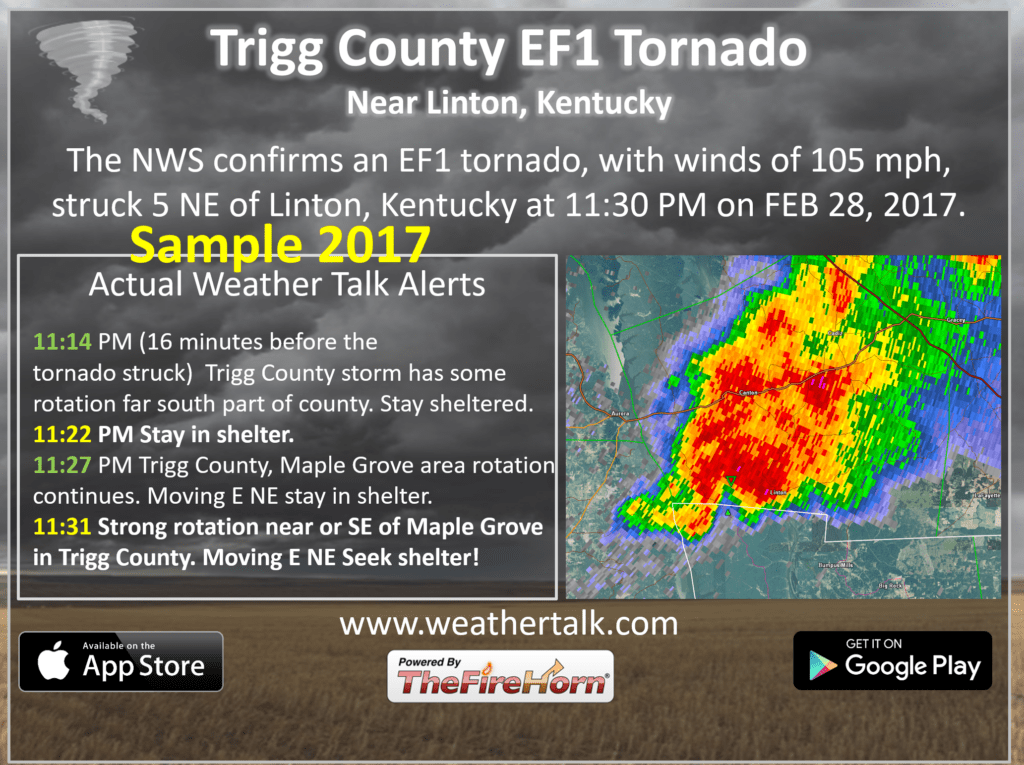
Here are some examples of what people receive when they subscribe to www.weathertalk.com