Posted by Chief Meteorologist Beau Dodson
Want to receive more weather information? I provide a service through www.weathertalk.com
Subscribe at www.weathertalk.com and then download the Beau Dodson Weather app from the app stores!
Check out our live exclusive weather radars.
Interactive local city-view radars. Clickable watches and warnings.
https://beaudodsonweather.com/weather-radars/
April 6, 2024
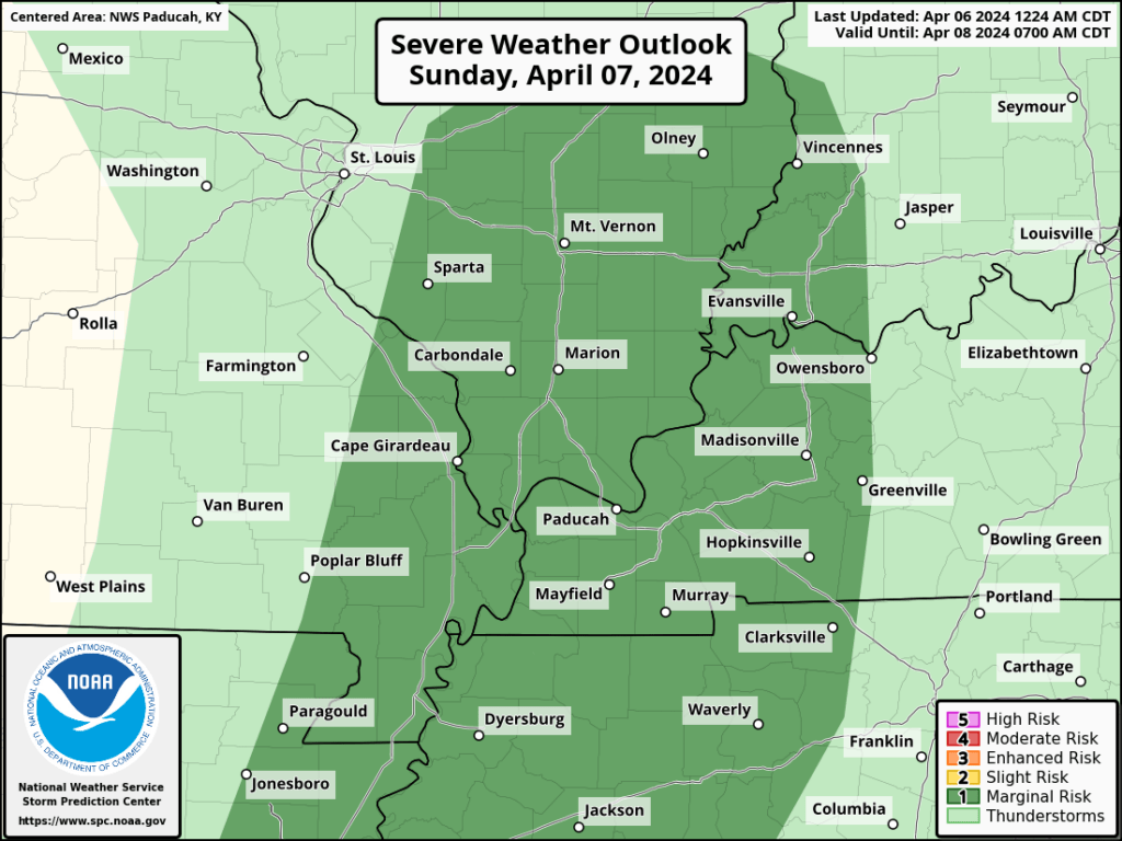
Sunday’s Severe Weather Outlook
Be sure and have 3 to 5 ways of receiving your severe weather information.
We have www.weathertalk.com that sends out alerts.
We have a new service called WeatherCall that will call your cell phone or home phone number IF your home is INSIDE the warning polygon. That can be found here https://weathercallservices.com/beau-dodson-weather
Good day, everyone.
The Storm Prediction Center “currently” has us outlined in a level one severe weather risk Sunday afternoon and evening.
The light color is where sub-severe storms could occur. Lightning would be the concern.
The dark color is a level 1 risk. Dark green. That is the lowest risk they have.
The risk table goes from 1 to 5. One being the lowest risk (a marginal risk) Five being the highest risk (a high risk).
They will update this graphic a few more times between now and event time. If they make adjustments, then I will update the graphic below.
Forecast
We will have scattered showers and thunderstorms late tonight into tomorrow morning. These initial storms should not be severe.
The severe risk will arrive later in the day.
The concern will be a few supercells forming Sunday afternoon and evening.
Supercells tend to be scattered.
Squall lines are a solid line of storms. Supercells are loners/scattered. This allows them to draw in a bit more energy.
This will likely start out as supercells and then it could develop into more of a line of storms. That portion of the forecast will need to be monitored. You can see that idea below.
Here is the Hrrr future-cast radars. What radar might look like tomorrow. This is in Zulu time. 00z=7 pm. 12z=7 AM. 18z=1 PM.
The primary concern will be a few reports of damaging wind and hail. A secondary concern will be a tornado or two.
Dew points, moisture in the atmosphere, is marginal for this event. If dew points were higher, then I would be a bit more concerned.
I will be monitoring dew points to see if they are a few degrees higher than forecast.
The time-frame of severe weather concern will primarily be 12 pm through 8 pm. Afternoon/evening.
Stay weather aware.
Want to receive more weather information? I provide a service through www.weathertalk.com
Subscribe at www.weathertalk.com and then download the Beau Dodson Weather app from the app stores!
Apple users: Beau Dodson Weather App
https://wtalk.co/9EZYG8A8
Android users: Beau Dodson Weather App
https://wtalk.co/ZEWYU8ME
Need help? Email me at beaudodson@usawx.com
* Daily weather forecasts
* My personal weather blog with all sorts of weather information!
* Special weather statements sent to the Beau Dodson Weather app.
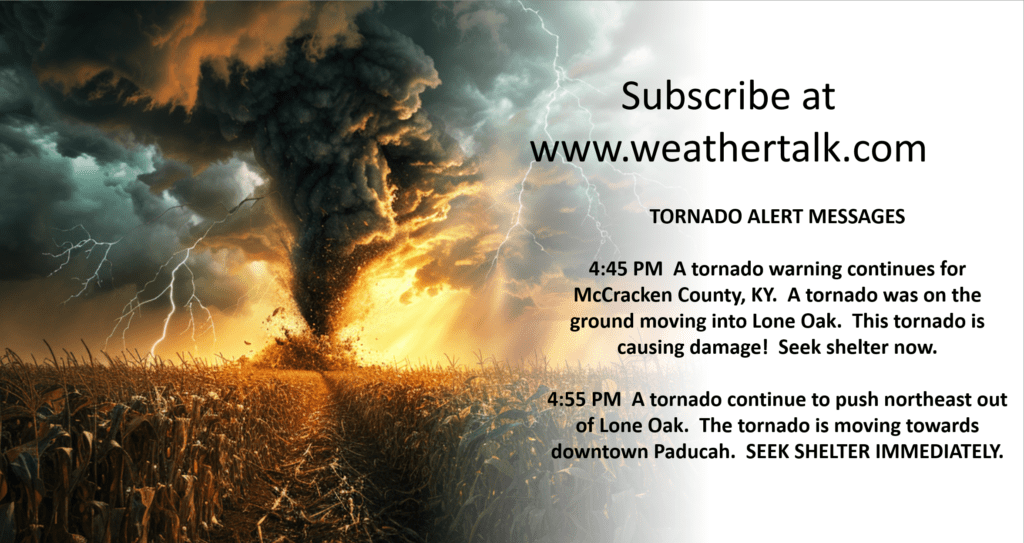
* Rapid fire tornado alerts.
* Severe weather alerts and forecasts.
* Severe weather updates throughout the day (when severe weather is occurring)
* Ice storm alerts and forecasts.
* Winter storm alerts and forecasts.
* Winter storm updates throughout the event.
* Regional weather videos.
* Long range weather videos.
* A daily forecast that I hand type for your county. Sent out every afternoon.
* Long range outlooks. Including week one, two, three, four, and monthly outlooks. Seasonal outlooks.
* App messages to alert you when I have updated the weather blogs and Facebook.
* And more!
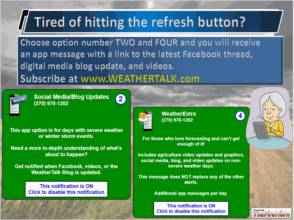
Here are some examples of what people receive when they subscribe to www.weathertalk.com
We send out app notifications when we update the social media posts (Blog, Facebook, other)