Posted by Meteorologist Beau Dodson.
Saturday update.
Good afternoon and evening. I hope you have a wonderful Labor Day Weekend!
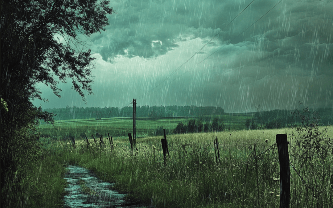
The weather will be unsettled today. We are in drought. We need this rain. It may interrupt some of your outdoor activities.
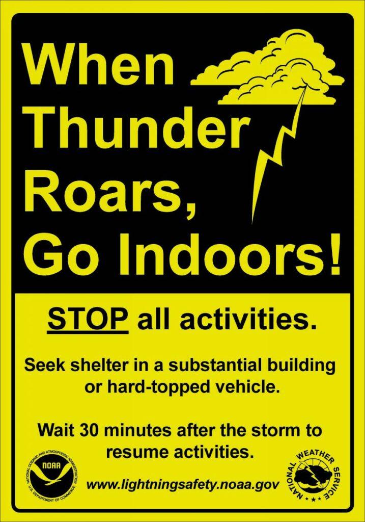
Remember, when thunder roars head indoors!
Scattered showers and thunderstorms will continue to pop up this afternoon and evening.
A few of the storms will produce heavy rain, gusty wind, small hail, and lightning. An isolated severe thunderstorm will be possible, but widespread severe weather is not in the forecast.
A few showers and storms will linger along the MO/AR and KY/TN border into Sunday afternoon.
Rainfall totals will range from 0.00″ to 0.50″. Slow moving thunderstorms will produce isolated pockets of one to three inches of rain. Some locations will receive little or no rain. Typical for August. Hit and miss.
Your Storm Tracking Links
Beau Dodson Weather Radars and Lightning Data
Interactive local city-view radars.
Clickable watches and warnings.
Link (new site)
https://beaudodsonweather.com/weather-radars/
Backup radar site
https://weatherobservatory.com/weather-radar.htm
This backup here may not always work, but here is another link
https://weathertalk.com/morani
Regional Radar
https://imagery.weathertalk.com/prx/RadarLoop.mp4
*NEW* Zoom interactive radar (with storm chaser streams)
https://wtalk.co/AVWG7GM7
Real time lightning tracker system two.https://map.blitzortung.org/#5.02/37.95/-86.99
Lightning Data (zoom in and out of your local area)
https://wtalk.co/WJ3SN5UZ