Posted by Meteorologist Beau Dodson
Welcome to the weekend!
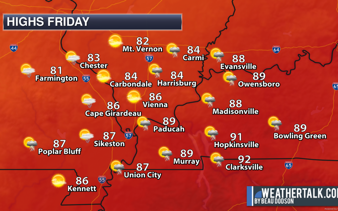
A strong cold front will deliver the coolest air of the summer season, thus far. The last time it was this cool was last April.
Many locations will dip into the 40s Saturday and Sunday night.
We do have a chance of showers and thunderstorms this afternoon. Most of the region will remain dry.
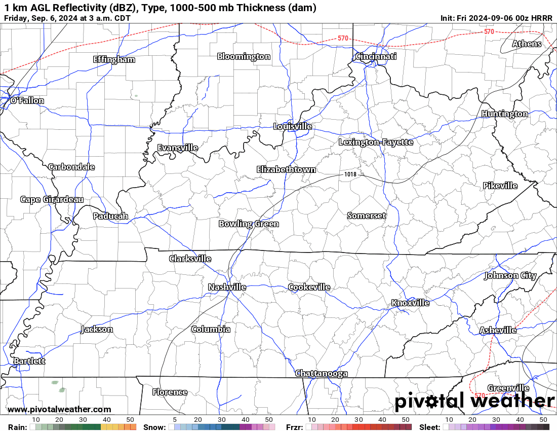
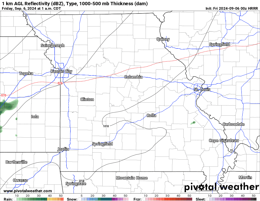
The Hrrr model future-cast radar shows that precipitation. It won’t be exact but take the general idea from it.
Dry conditions are anticipated Saturday through Thursday. There will be an enhanced fire risk this weekend. Avoid burning brush, leaves, and fields.
I am watching the tropics. Perhaps a disturbance will move northward next weekend. It is a long shot, but I am monitoring it. That would bring increasing clouds and rain.
Shown below is the future-cast radar from the Hrrr model. What radar might look like later today.