Posted by Meteorologist Beau Dodson
Good morning, everyone. A great weather day ahead of us. Widespread high temperatures in the 80s. Humidity levels will remain low. Some smokey sky conditions (wildfires from Canada).
Weather changes are coming! A tropical system will bring widespread rain to our region.
Tropical Storm Francine will push into Louisiana Wednesday. This system will then move northward into our region Thursday and Friday.
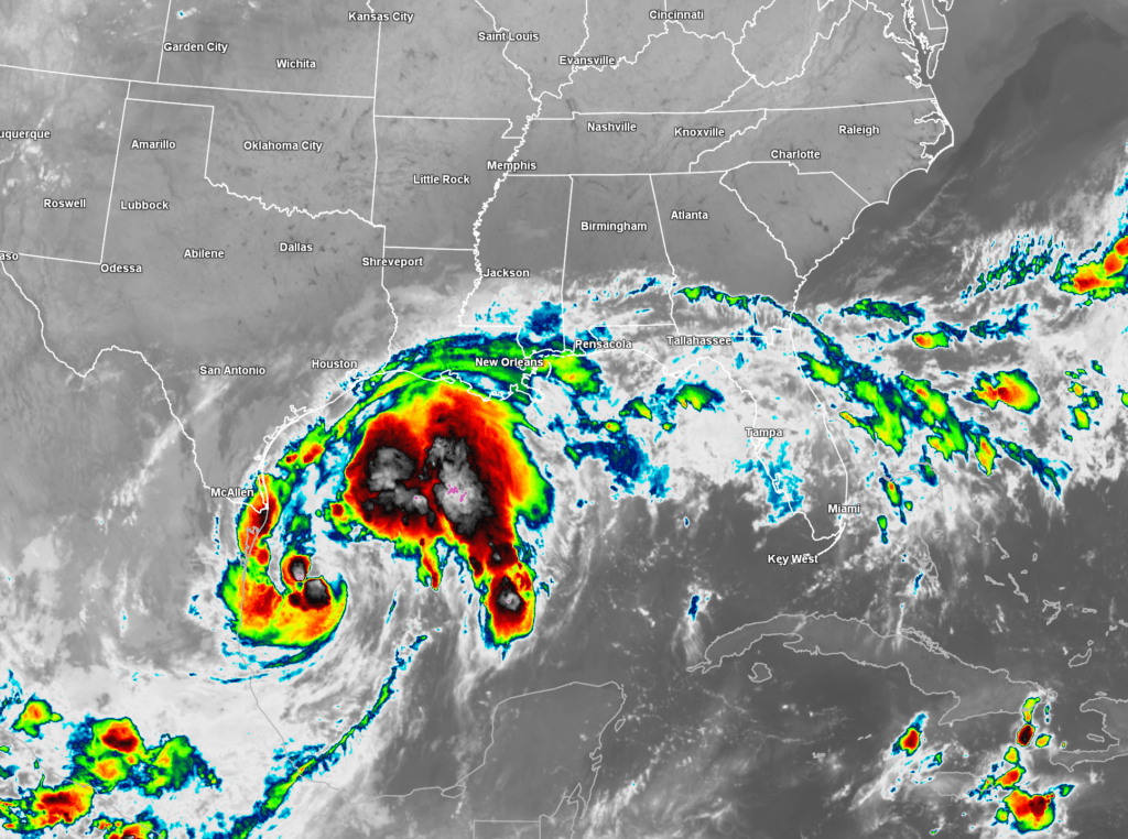
This is the morning satellite view of Francine. It did not strengthen overnight.
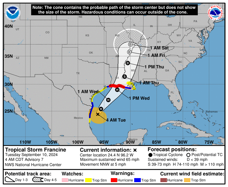
Here is the path forecast. You can see the National Hurricane Center tracks it into our region. The D means that it will likely be a tropical depression once it arrives.
I am expecting widespread rain to accompany the weakening tropical system.
At this time, it appears that one to two inches of rain will fall in our area. There could be pockets of higher totals where showers and thunderstorms repeatedly train over the same areas.
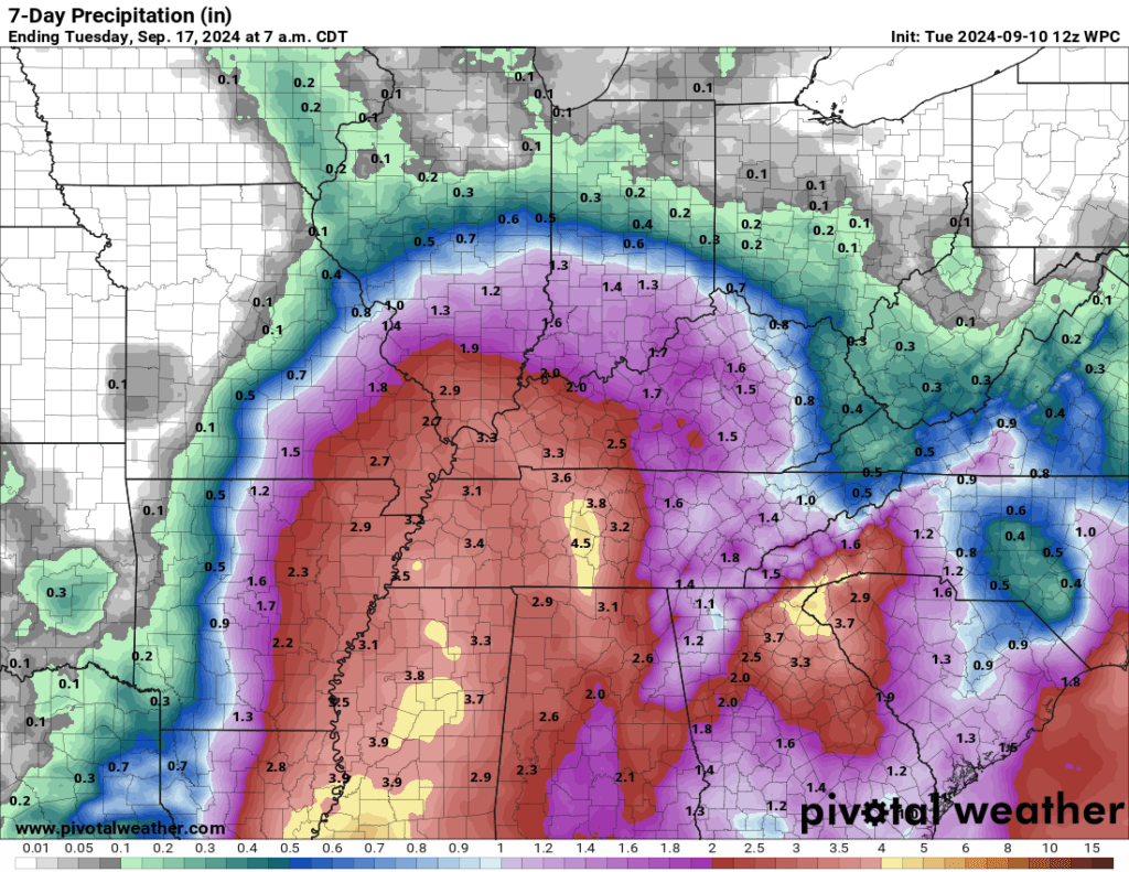
Here is the latest WPC/NOAA rainfall outlook. Totals will vary from county to county. Take the general idea from this. We need this rain. Our region is suffering from drought.
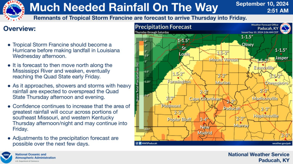
Here is a graphic from the Paducah, Kentucky NWS. Take the general idea from this. Totals will vary from county to county. If the storm shifts slightly west or east, then rain totals will need to be adjusted.
The risk of tornadoes appears low with this tropical system. Tropical systems can produce tornadoes in the northeast and east quadrant of the area of low pressure. With this particular system, it appears wind shear may be lacking over our local area for the development of tornadoes. I will keep a close eye on it.
The system will linger and die out over our region Saturday and Sunday. I do have at least scattered showers and thunderstorms in the forecast Saturday and Sunday. If you have outdoor plans, then monitor updates and radars.
Here is the latest NAM future-cast radar. It shows the system arriving Thursday and lingering into the weekend. The time is in Zulu. 12z=7 am. 0z=7 pm.
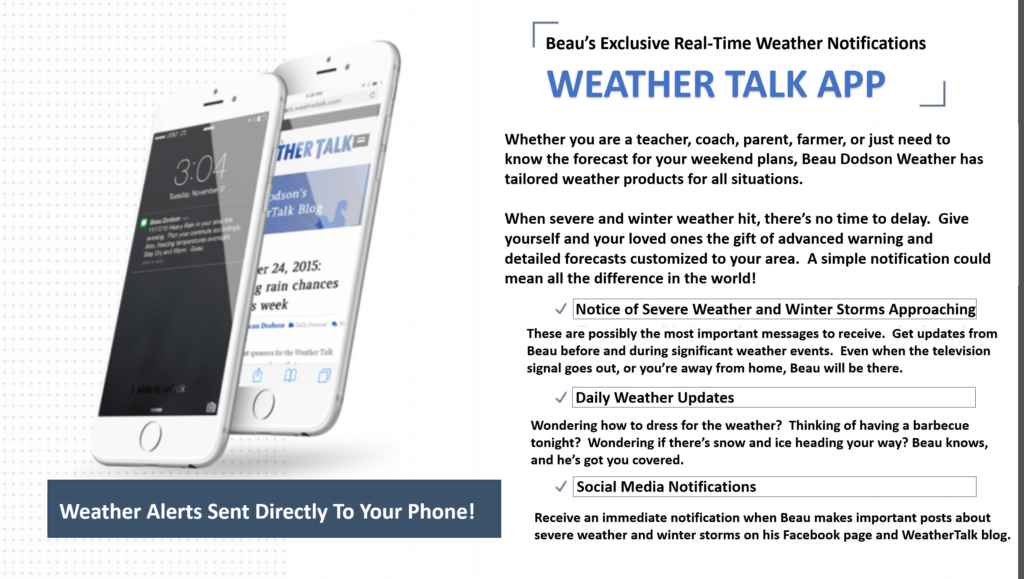
Want to receive more weather information? Straight to your phone!
Beau provides a service through www.weathertalk.com
Subscribe at www.weathertalk.com and then download the Beau Dodson Weather app from the app stores!
Apple users: Beau Dodson Weather App
https://wtalk.co/9EZYG8A8
Android users: Beau Dodson Weather App
https://wtalk.co/ZEWYU8ME
Be sure and have three to five ways of receiving your severe weather information.
One of those sources can be www.weathertalk.com
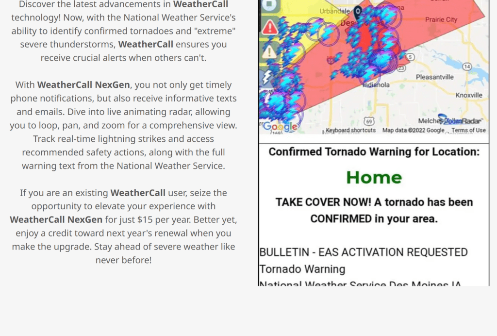
We also have a new service called WeatherCall that will call your cell phone or home phone number IF your home is INSIDE the severe thunderstorm or tornado warning. That service can be found here https://weathercallservices.com/beau-dodson-weather
Check out Beau’s live exclusive interactive weather radars.
Interactive local city-view radars. Clickable watches and warnings.
https://beaudodsonweather.com/weather-radars/