Posted by Meteorologist Beau Dodson
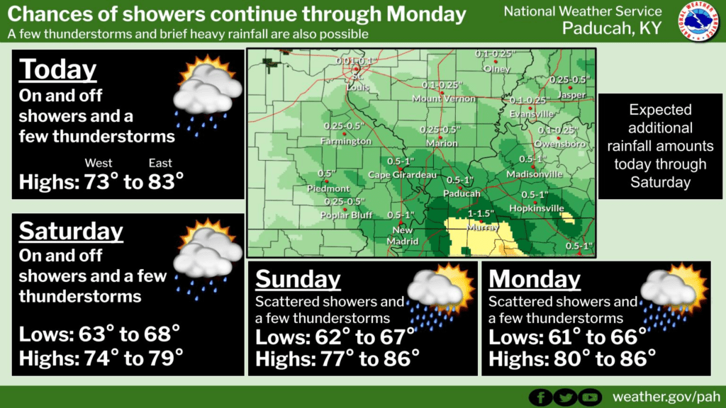
So far, the forecast is on track. The forecast was for one to three inches of rain over a four-day period of time. That was yesterday through Sunday night.
Rain moved into the region yesterday afternoon and last night. It continues into the weekend.
We will need to wait until Sunday night to see how the forecast verified.
There are some concerns about northern portions of southeast Missouri and northern portions of southern Illinois receiving a total of under an inch. Let’s see how it plays out. Otherwise, we have several more days of scattered showers and storms.
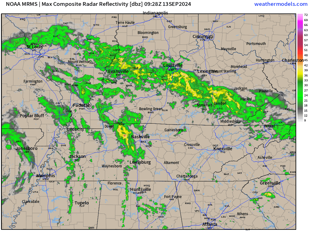
Here was the 6 am radar animation from the Paducah, Kentucky NWS Radar. You can see the spiraling bands. Scroll down for live radar links.
In general, there will be another 0.5″ to 2.00″ of rain. There will also be some bands of isolated higher totals. That will be exception and not the norm.
Tropical downpours could, in some cases, flood ditches and spill over onto roadways. Isolated water issues are possible.
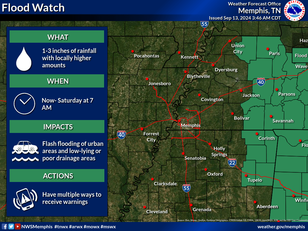
There is a flood watch for portions of northwest Tennessee. Issued by the Memphis, Tennessee NWS.
The center of Francine was located in northeast Arkansas. It was barely moving. That will be the reason for on and off precipitation chances into Sunday night.
If you have outdoor plans, then monitor the radar links below. Take some rain gear with you. Hope for the best, plan for the worst. Have a plan B in case it rains!
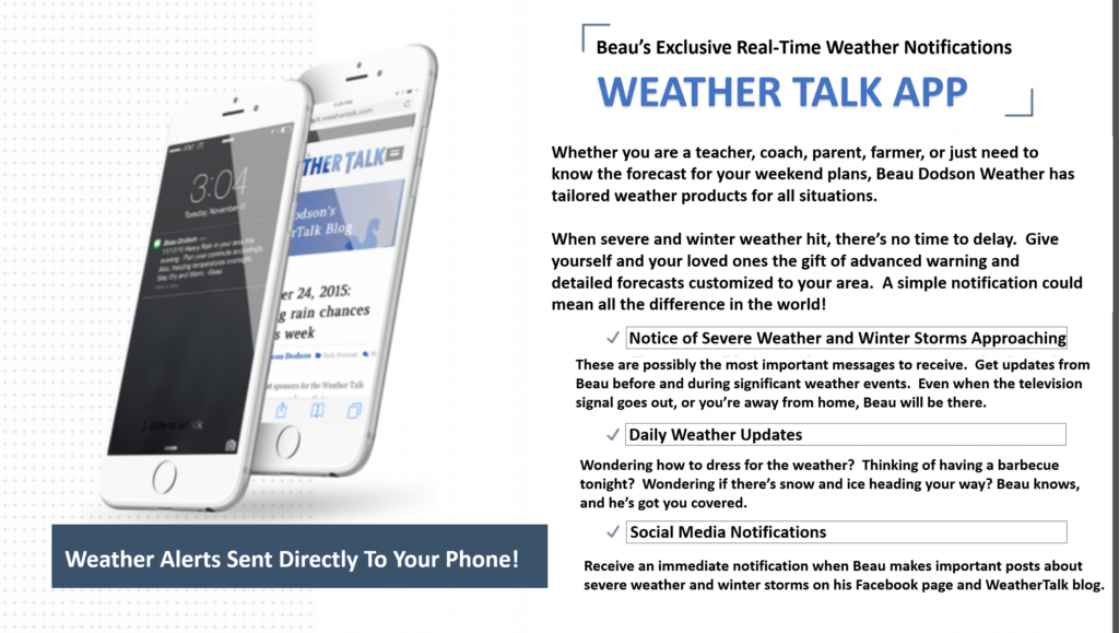
Want to receive more weather information? Straight to your phone!
Beau provides a service through www.weathertalk.com
Subscribe at www.weathertalk.com and then download the Beau Dodson Weather app from the app stores!
Apple users: Beau Dodson Weather App
https://wtalk.co/9EZYG8A8
Android users: Beau Dodson Weather App
https://wtalk.co/ZEWYU8ME
Be sure and have three to five ways of receiving your severe weather information.
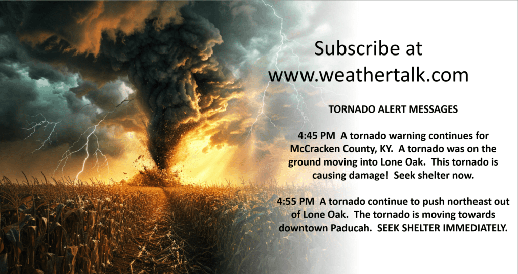
One of those sources can be www.weathertalk.com
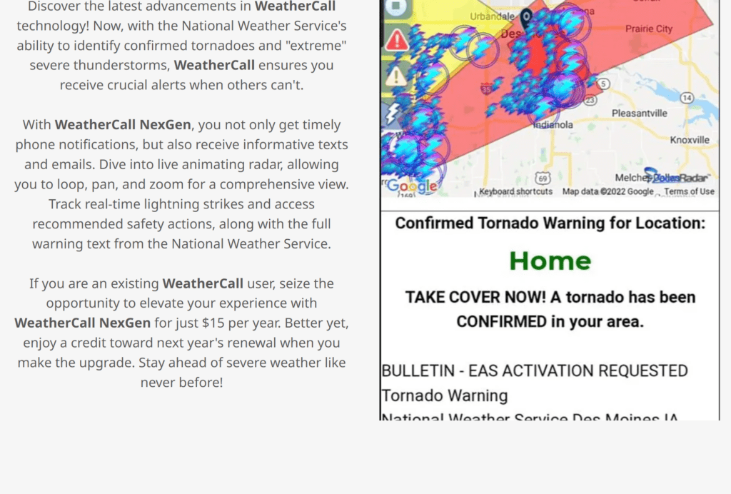
We also have a new service called WeatherCall that will call your cell phone or home phone number IF your home is INSIDE the severe thunderstorm or tornado warning. That service can be found here https://weathercallservices.com/beau-dodson-weather
Check out Beau’s live exclusive interactive weather radars.
Interactive local city-view radars. Clickable watches and warnings.
https://beaudodsonweather.com/weather-radars/