Posted by Meteorologist Beau Dodson
A few showers remain from northwest Tennessee into the Bootheel and then northwest into southcentral Missouri. Here was the 7 am radar image. The rain was moving west northwest. See radar links below.
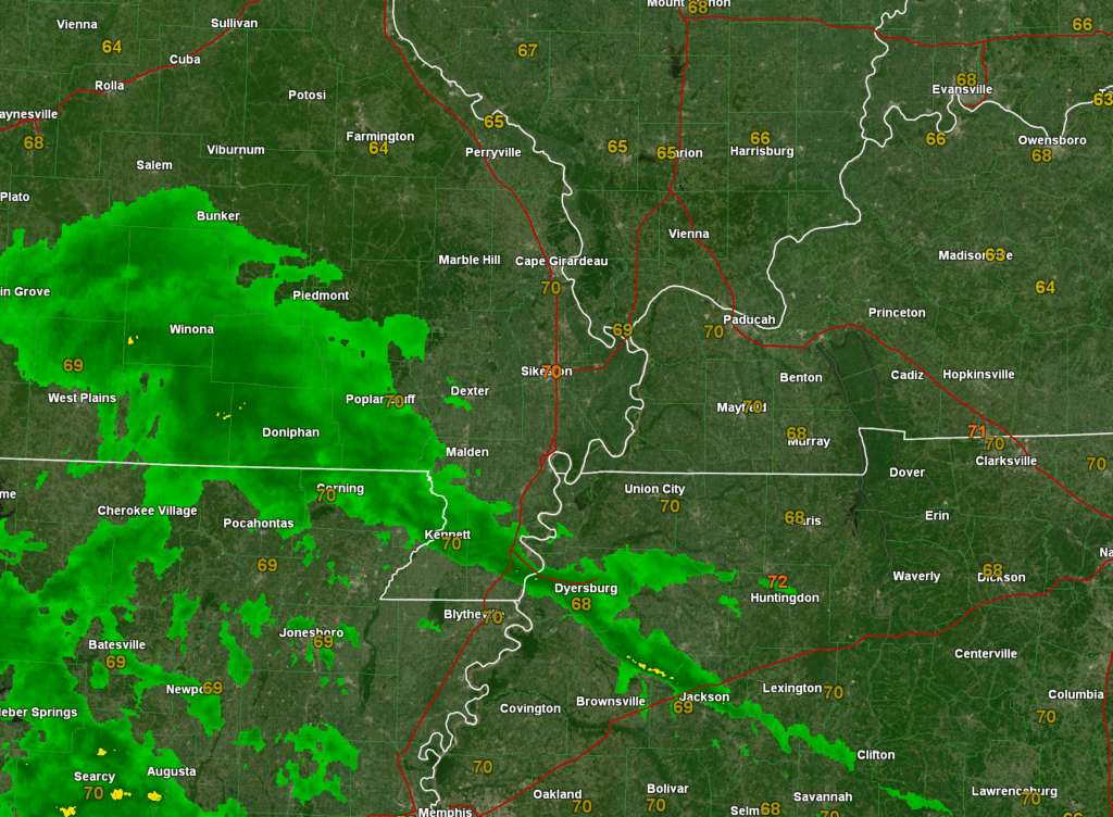
The rest of the region should dry out today with just small precipitation chances remaining.
A dry week ahead of us with above average temperatures. Widespread 80s this week.
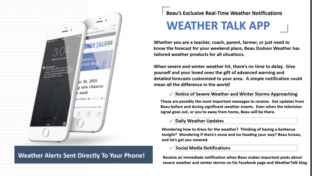
Want to receive more weather information? Straight to your phone!
Beau provides a service through www.weathertalk.com
Subscribe at www.weathertalk.com and then download the Beau Dodson Weather app from the app stores!
Apple users: Beau Dodson Weather App
https://wtalk.co/9EZYG8A8
Android users: Beau Dodson Weather App
https://wtalk.co/ZEWYU8ME

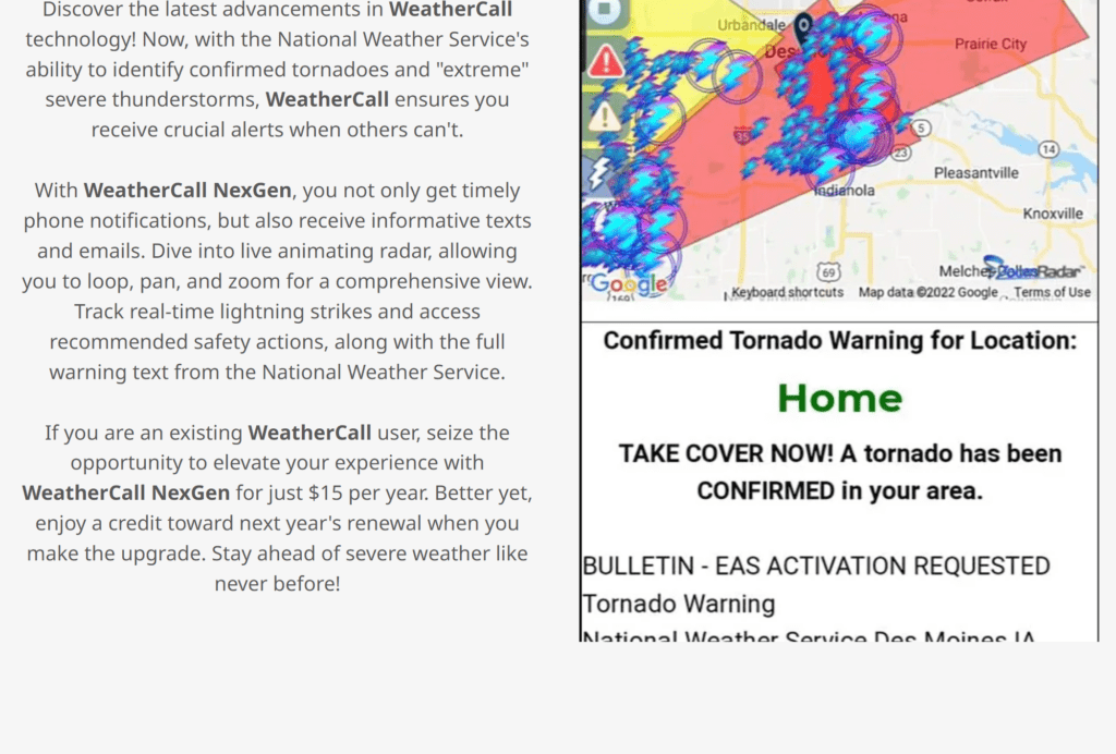
Be sure and have three to five ways of receiving your severe weather information.
One of those sources can be www.weathertalk.com
We also have a new service called WeatherCall that will call your cell phone or home phone number IF your home is INSIDE the severe thunderstorm or tornado warning. That service can be found here https://weathercallservices.com/beau-dodson-weather
Check out Beau’s live exclusive interactive weather radars.
Interactive local city-view radars. Clickable watches and warnings.
https://beaudodsonweather.com/weather-radars/