The National Weather Service in Memphis has issued a
…A TORNADO WARNING REMAINS IN EFFECT UNTIL 215 PM CST FOR CARROLL COUNTY…
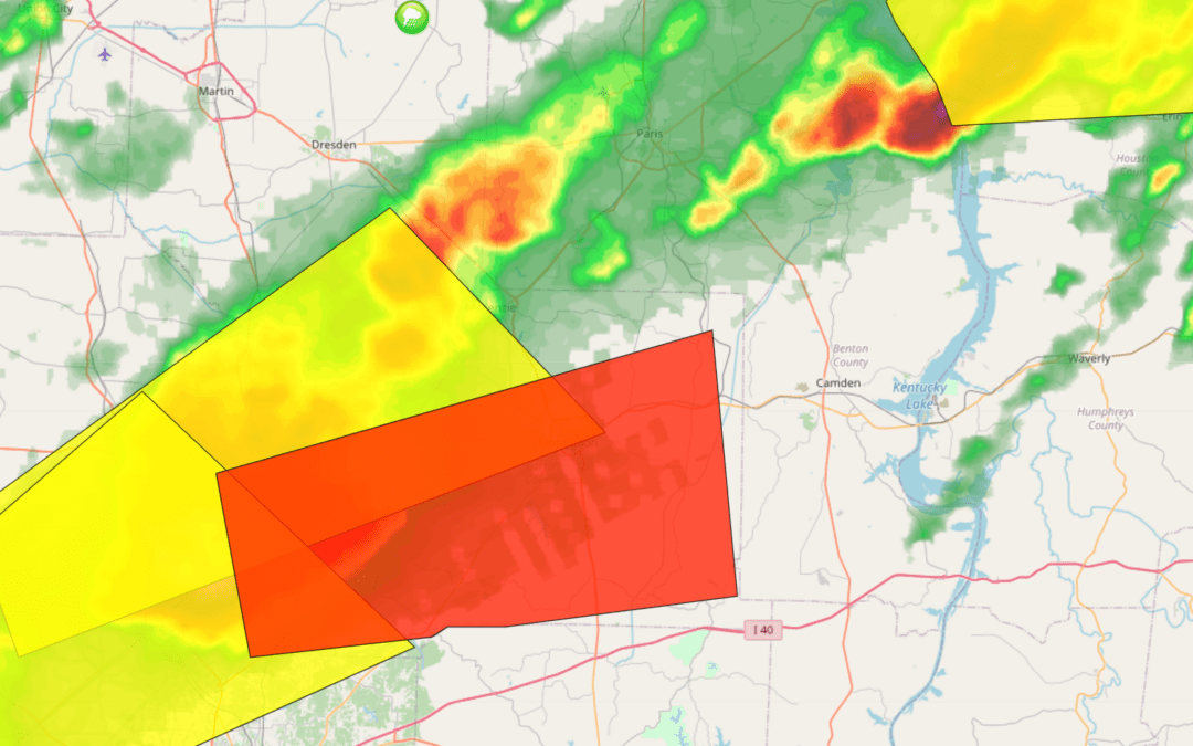
At 140 PM CST, a severe thunderstorm capable of producing a tornado was located near Atwood, or 7 miles east of Milan, moving east at 40 mph.
HAZARD…Tornado and half dollar size hail.
SOURCE…Radar indicated rotation.
IMPACT…Flying debris will be dangerous to those caught without shelter. Mobile homes will be damaged or destroyed. Damage to roofs, windows, and vehicles will occur. Tree damage is likely. Locations impacted include… Huntingdon, Bruceton, Atwood, Trezevant, Hollow Rock, Clarksburg, McLemoresville, Howley, Westport, Hickory Flat, Hillard, New Zion, Dollar, Jumbo, Lavinia, Scott Hill, Leach, Tate, Garretsburg, and Palmer Shelter.
News First is in Storm Alert Mode with LIVE updates by Chief Meteorologist Beau Dodson in our Weather Center. Click HERE to go there now.