Posted by Meteorologist Beau Dodson
Well, we’ve experienced a quiet week of weather. We deserved it after the horrific tornadoes last Saturday.
We continue to pray and keep everyone impacted in our thoughts. You can donate to charities in Clarksville and other towns. Just search how you can help. There are many different groups involved.
The weather will continue to be quiet into Friday evening. No concerns. Above average temperatures.
An upper-level system will combine with a storm system in the southeast United States to produce widespread rain in the region late Friday night into Sunday.
Peak rain chances will arrive Saturday and Saturday night. Lower chances Friday night and Sunday.
Rain totals will range from 0.10″ to 0.50″. Heaviest totals are likely to be across Kentucky and Tennessee.
Here is the most up to date rainfall forecast graphic.
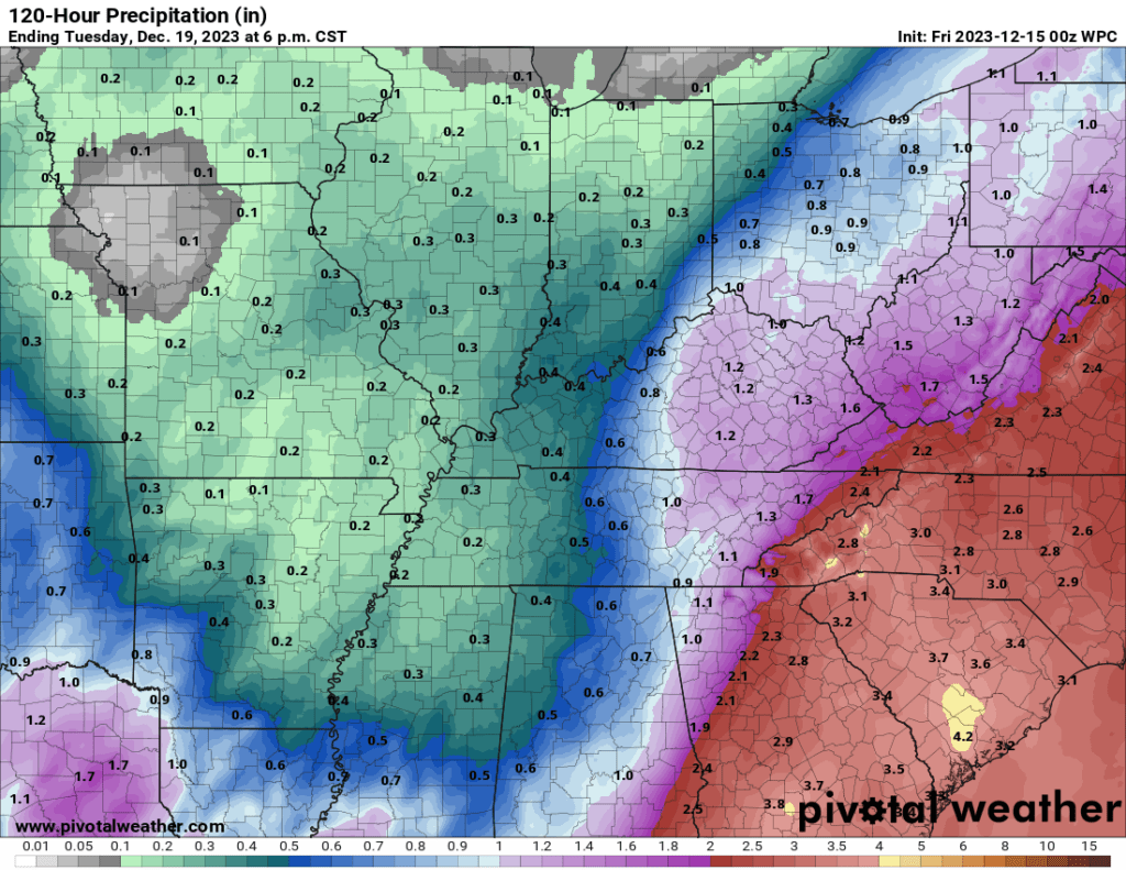
A deepening area of low pressure will develop this weekend in the Gulf of Mexico and move north northeast into the southeast United States.
This will cause the pressure gradient in our region to tighten up. What does that mean? It simply means we will experience gusty winds Sunday and Monday. Mainly in the 10 to 20 mph range with gusts to 30 mph possible.
Thankfully, we do not have to worry about tornadoes this weekend!
Here is the latest future-cast radar from the NAM model.
This is in Zulu time (upper left-hand side is the timestamp). 12z=6 am. 18z=12 pm. 00z=6 pm.
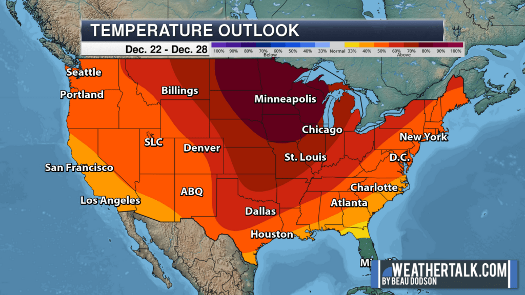
I continue to forecast above average temperatures around Christmas.
Temperature anomaly forecast. Red equals above average temperatures. The entire nation!
I am watching several storm systems from December 22nd through January 3rd. For now, the Christmas ones look to warm for snow or ice. I will watch after Christmas as some colder air may sneak into the region. Too soon to know if that means snow or ice. Monitor updates.
It is also too early to know if severe thunderstorms or tornadoes will be a concern with any of those systems. I am closely monitoring trends.
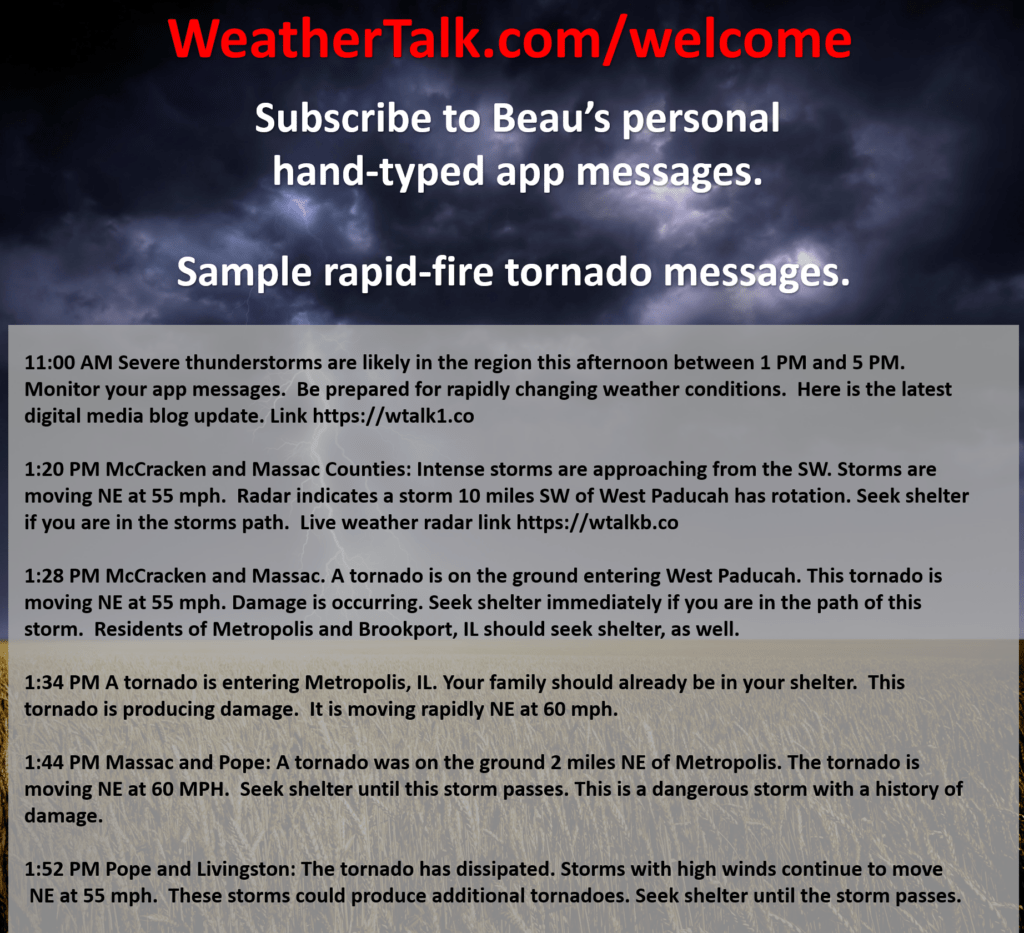
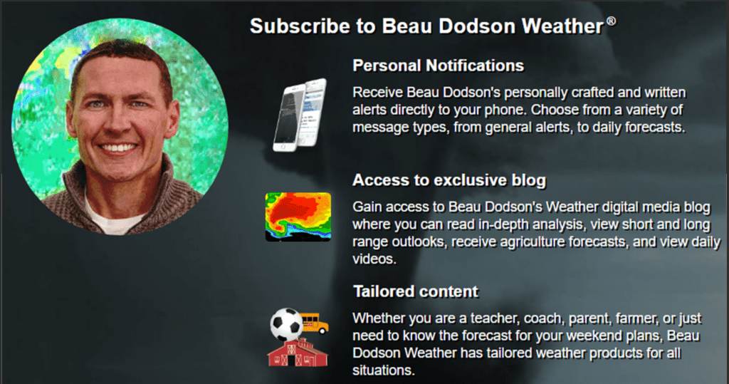
Want to receive more weather information? I provide a service through www.weathertalk.com
You can receive daily weather forecasts, blog updates, special weather statements, severe weather alerts, tornado alerts, ice storm warnings, winter storm alerts, videos, long range videos, long range outlooks, and more!
Subscribe at www.weathertalk.com
Samples of what you will receive. Once you subscribe, download the Beau Dodson Weather App in the app store. Need help? Email me at beaudodson@usawx.com