Posted by Meteorologist Beau Dodson
We are waking up to cold temperatures. Some counties have dipped into the 30s. These are record low temperatures.
We will warm into the eighties today. A 40+ plus degree temperature swing.
The big weather story is a developing hurricane in the Gulf of Mexico. This system can be seen on this morning’s satellite. It is moving north northeast. Its name will be Francine.
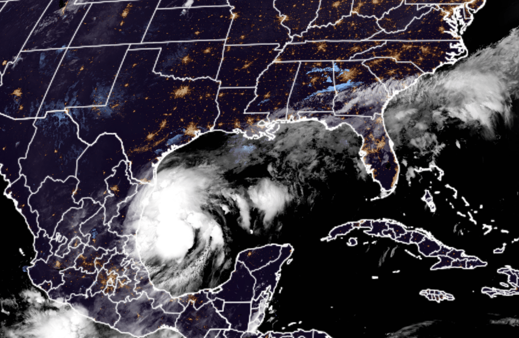
Over the coming days, this system will move into northeast Texas, Louisiana, and Mississippi. It will then track into our region Thursday, Friday, and Saturday. This will bring widespread soaking rain.
Some of the rain could be locally heavy. Exact rainfall totals will depend on the track of the center. For now, there is a wide cone in the forecast track (the center). Anywhere from central/western Missouri to central/eastern Kentucky.
Here is the National Hurricane Center’s forecast track.
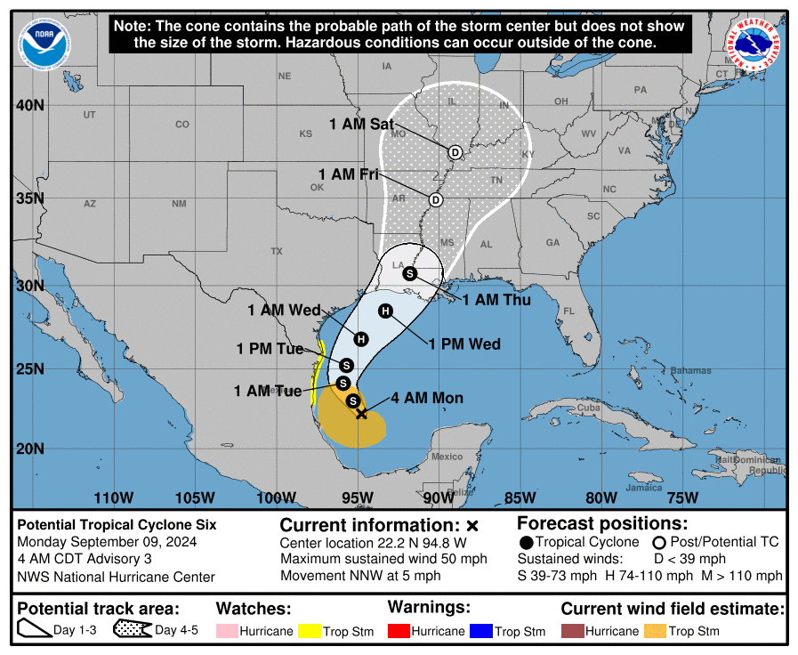
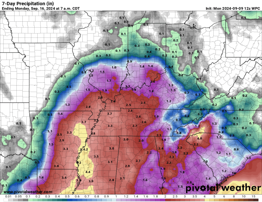
Peak rain chances in our region will likely be Thursday night into Saturday. Locally, pockets of one to three inches of rain will be possible along the path of Francine. I can’t rule out higher totals, but it is too early for certainties. Monitor updates.
Here is the most up to date rainfall outlook. Adjustments in this are possible over the coming days.
I will also be monitoring the risk of tornadoes along the east/northeast side of the area of low pressure.
Landfalling tropical systems often times produce tornadoes. Especially along the eastern and northeastern side of the center. Usually, these tornadoes are short-lived and in the EF0 to EF2 strength range.
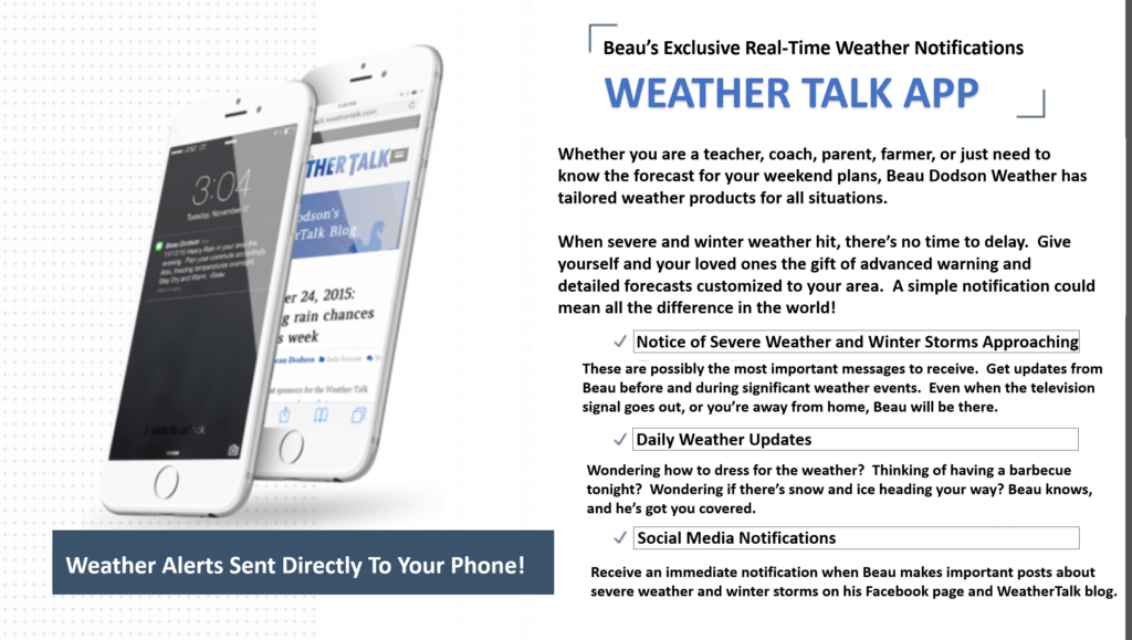
Want to receive more weather information? Straight to your phone!
Beau provides a service through www.weathertalk.com
Subscribe at www.weathertalk.com and then download the Beau Dodson Weather app from the app stores!
Apple users: Beau Dodson Weather App
https://wtalk.co/9EZYG8A8
Android users: Beau Dodson Weather App
https://wtalk.co/ZEWYU8ME
Be sure and have three to five ways of receiving your severe weather information.
One of those sources can be www.weathertalk.com
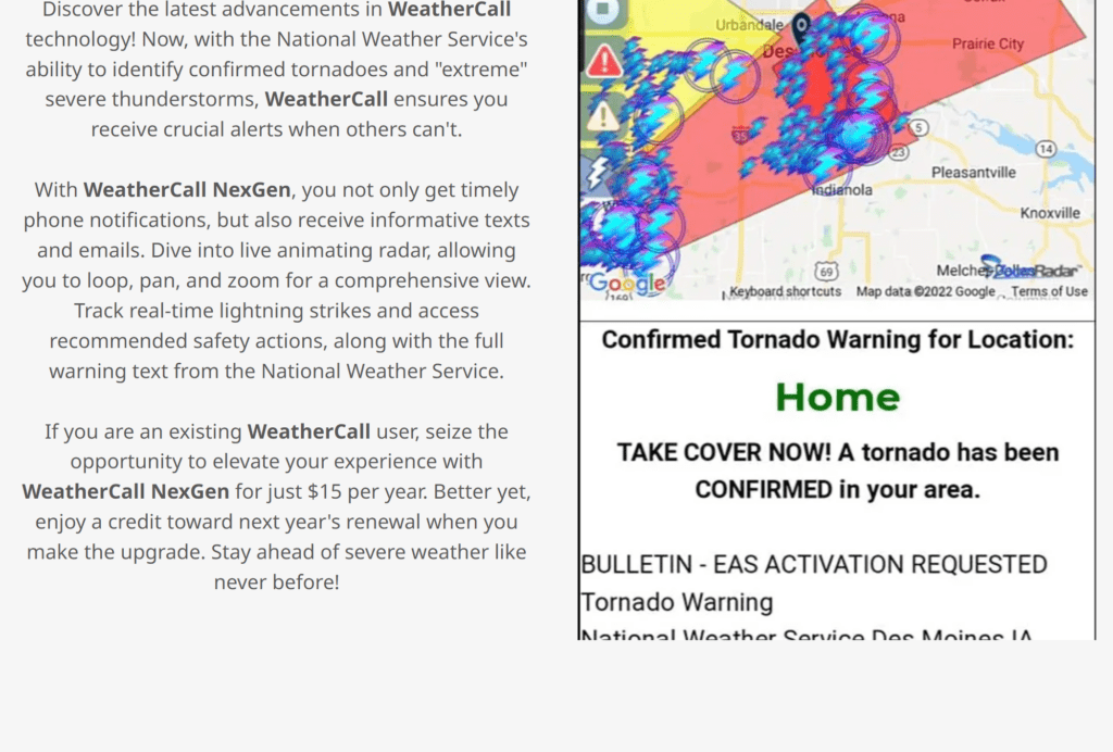
We also have a new service called WeatherCall that will call your cell phone or home phone number IF your home is INSIDE the severe thunderstorm or tornado warning. That service can be found here https://weathercallservices.com/beau-dodson-weather
Check out Beau’s live exclusive interactive weather radars.
Interactive local city-view radars. Clickable watches and warnings.
https://beaudodsonweather.com/weather-radars/
