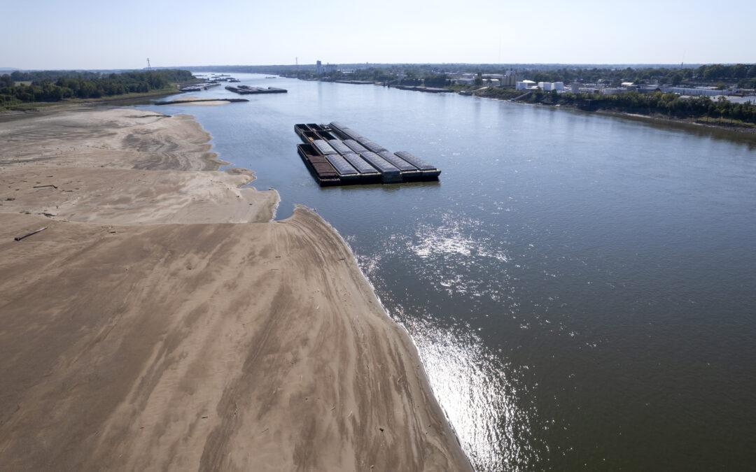
ST LOUIS (News First) – U.S. Department of Agriculture meteorologist Brad Rippey talks about water levels along the Mississippi River system and concerns of declining levels and the potential impacts on barge traffic.
“We continue to monitor the Mississippi Basin, our major inland waterway for transportation,” Rippey says. “For low river levels, we did get a decent flush of water related to what happened with Hurricane Helene. We did get a nice bump, but it was temporary, working its way down the Tennessee, eventually into the Ohio River. And then the Mississippi, that was reflected in some of our gauge numbers. Now we’re seeing declining river levels again. At St. Louis, in the middle Mississippi Valley, we’ve seen the river level decline to a current reading of about minus 2.5 feet. That doesn’t mean the river is dry. It just means because of dredging efforts and rock removal over the years, you can have a negative gauge reading and not have a dry river. But that is getting into the top 50 all-time for lowest river levels. St. Louis, it’s only a little more than three feet higher than the all-time record low set back in 1940. And so we continue to monitor some of these river levels, both in the upper and the middle Mississippi Basin, and eventually the lower Mississippi Basin as well, dealing with some low river levels.”
For the third year in a row, Tower Rock or Grand Tower in the Mississippi River in Perry County is accessible to visit. To get to Tower Rock, drive ‘A’ Highway through Altenburg and continue until you see a sign for Tower Rock, turning right onto the gravel road which is Perry County Road 460. The road will end at Tower Rock. Across the other side of the river, you can see Grand Tower, Illinois.