Rain is winding down.
Posted by Meteorologist Beau DodsonSunday, September 15, 2024 The remnants of Francine are slowly weakening and winding down across our region. Here is what the 8 am radar looked like. Most of the rain was over our southwestern counties. It was moving northwest and...
Scattered showers and thunderstorms into the weekend.
Posted by Meteorologist Beau Dodson So far, the forecast is on track. The forecast was for one to three inches of rain over a four-day period of time. That was yesterday through Sunday night. Rain moved into the region yesterday afternoon and last night. It continues...
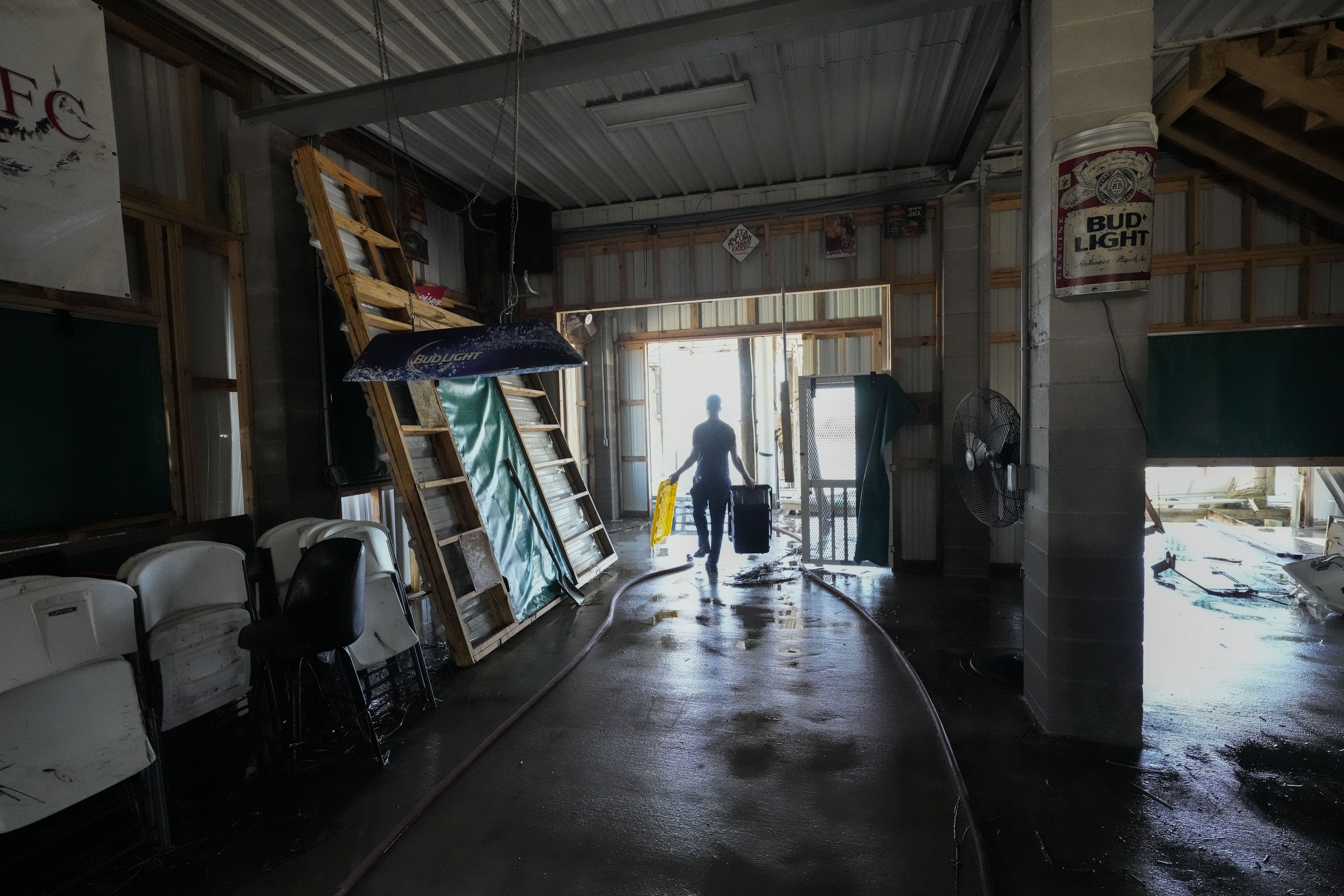
Francine weakens and moves inland after lashing Louisiana
MORGAN CITY, La. (AP) — Francine weakened Thursday after striking Louisiana as a Category 2 hurricane that knocked out power to hundreds of thousands of utility customers, sent storm surge rushing into coastal communities and raised flooding fears in New...
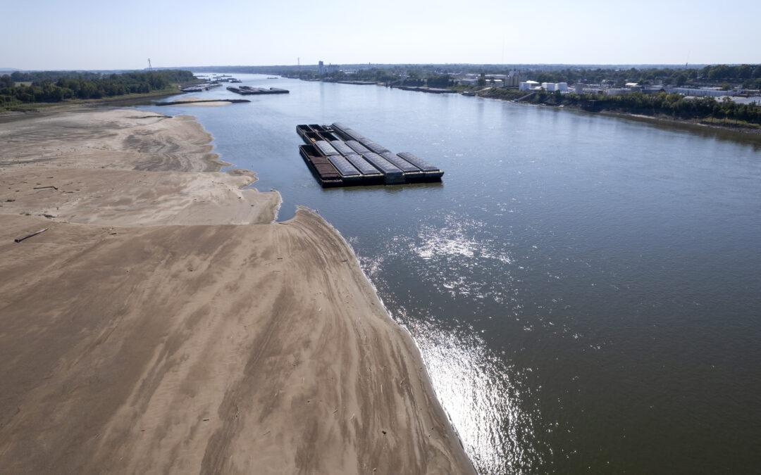
Drought conditions continue throughout SEMO
FARMINGTON, Mo. (News First) – It’s been a while since we’ve received any significant rainfall in most of southeast Missouri. Drought conditions continue to intensify once again in southeast Missouri. In the latest drought monitor map of Missouri, released...


